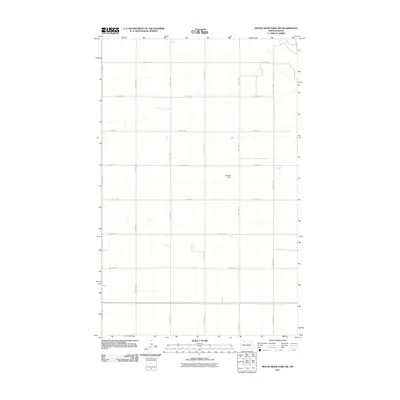
2011 Map of Mouse River Park SW
USGS Topo · Published 2011About this map
Brekhus Field stands as a primary landmark in this rural landscape within Renville County, North Dakota. The area is defined by a rigorous Section Land Survey grid, where the vast agricultural expanse is partitioned by a network of gravel and dirt roads including 100th St NW and 54th Ave NW. This 2011 survey by the U.S. Geological Survey reflects the enduring agricultural character of the Great Plains, capturing the sparse distribution of homesteads and the meticulous engineering of the local drainage patterns. The map highlights the intersection of modern logistics and traditional land management, providing a clear record of the rural infrastructure at the start of the decade.
Find a feature on this map
14 named features on this map. Tap any name to fly to it.
Don’t see what you’re looking for? This feature index may not catch every label — zoom into the map to look around manually.
Map Details
Editions of this 2011 Mouse River Park SW Map
This is the sole edition of this map. No revisions or reprints were ever made.
Other maps of this area

1947 · Tolley
USGS Topo · 1:62,500

1948 · Kenmare
USGS Topo · 1:24,000

1948 · Norma
USGS Topo · 1:24,000

1948 · Mouse River Park NW
USGS Topo · 1:24,000

1948 · Tolley
USGS Topo · 1:24,000

1949 · Mouse River Park NW
USGS Topo · 1:24,000

1949 · Bowbells SE
USGS Topo · 1:24,000

1949 · Bowbells NE
USGS Topo · 1:24,000

1949 · Mouse River Park NE
USGS Topo · 1:24,000

1949 · Mouse River Park SW
USGS Topo · 1:24,000