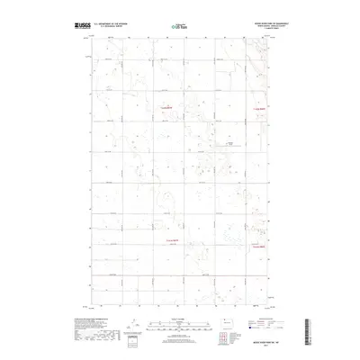
2017 Map of Mouse River Park SW
USGS Topo · Published 2017About this map
Brekhus Field sits near the eastern edge of this agricultural landscape in Renville County, providing a clear reference point amidst a regular grid of section lines and rural thoroughfares. The terrain is defined by its rectilinear road network, where routes like 100th St NW and 54th Ave Nw facilitate movement through the township and range divisions of t162n r87w and t161n r87w. This 2017 survey illustrates a modern prairie environment where the land is meticulously partitioned for production, punctuated by numerous small depressions and wetlands common to this region of North Dakota. The map is an essential record of contemporary land use, showing how legacy section boundaries continue to shape the distribution of resources and access in the rural Midwest.
Find a feature on this map
18 named features on this map. Tap any name to fly to it.
Don’t see what you’re looking for? This feature index may not catch every label — zoom into the map to look around manually.
Map Details
Editions of this 2017 Mouse River Park SW Map
This is the sole edition of this map. No revisions or reprints were ever made.
Other maps of this area

1947 · Tolley
USGS Topo · 1:62,500

1948 · Kenmare
USGS Topo · 1:24,000

1948 · Norma
USGS Topo · 1:24,000

1948 · Mouse River Park NW
USGS Topo · 1:24,000

1948 · Tolley
USGS Topo · 1:24,000

1949 · Mouse River Park NW
USGS Topo · 1:24,000

1949 · Bowbells SE
USGS Topo · 1:24,000

1949 · Bowbells NE
USGS Topo · 1:24,000

1949 · Mouse River Park NE
USGS Topo · 1:24,000

1949 · Mouse River Park SW
USGS Topo · 1:24,000