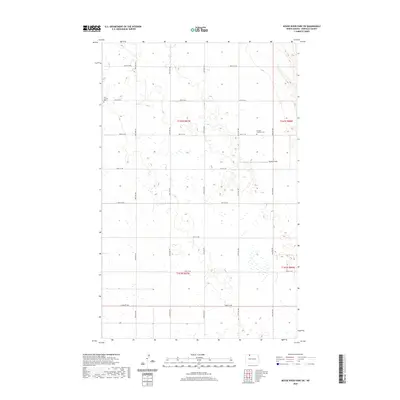
2020 Map of Mouse River Park SW
USGS Topo · Published 2020About this map
The northern reaches of Renville County are defined by a rhythmic grid of rural routes and the presence of historic congregational sites. Zion Lutheran Cem and Evanger Lutheran Cem stand as enduring markers of the region's Scandinavian heritage, positioned along the straight-line corridors of 99th St NW and 98th St NW. The landscape is dominated by a dense network of prairie potholes and wetlands, interspersed with agricultural clearings like Brekhus Field. This 2020 map documents the persistent township-and-range structure established over a century ago, with the Public Land Survey System boundaries for t162n r87w and t162n r86w guiding the modern road network.
Find a feature on this map
22 named features on this map. Tap any name to fly to it.
Don’t see what you’re looking for? This feature index may not catch every label — zoom into the map to look around manually.
Map Details
Editions of this 2020 Mouse River Park SW Map
This is the sole edition of this map. No revisions or reprints were ever made.
Other maps of this area

1947 · Tolley
USGS Topo · 1:62,500

1948 · Kenmare
USGS Topo · 1:24,000

1948 · Norma
USGS Topo · 1:24,000

1948 · Mouse River Park NW
USGS Topo · 1:24,000

1948 · Tolley
USGS Topo · 1:24,000

1949 · Mouse River Park NW
USGS Topo · 1:24,000

1949 · Bowbells SE
USGS Topo · 1:24,000

1949 · Bowbells NE
USGS Topo · 1:24,000

1949 · Mouse River Park NE
USGS Topo · 1:24,000

1949 · Mouse River Park SW
USGS Topo · 1:24,000