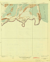
1936 Map of Mouth Of Rio Grande
USGS Topo · Published 1945About this map
The Rio Grande marks the international boundary between the United States and Mexico in this coastal survey, terminating at the Mouth of Rio Grande on the Gulf of Mexico. The landscape is dominated by the complex shoreline of Laguna Madre, where several prominent lomas, or small hills, such as Loma de la Estrella and Loma de los Ebanitos, rise above the surrounding tidal flats. Near the coast, the Boca Chica Highway provides access to the Boca Chica Beach and the historic Brazos I area. Military and infrastructure footprints are evident through the U S Army Rifle Range and the Port Isabel Pumping Station, which connects to the Port Isabel Aqueduct. This era of the South Texas coast shows the intricate river bends known as bancos, including the Stell-Lind Banco No 128, which illustrate the shifting nature of the river border.
Find a feature on this map
24 named features on this map. Tap any name to fly to it.
Don’t see what you’re looking for? This feature index may not catch every label — zoom into the map to look around manually.
Map Details
Editions of this 1936 Mouth Of Rio Grande Map
2 editions found
Other maps of this area

1929 · Palmito Hill
USGS Topo · 1:24,000

1929 · Point Isabel
USGS Topo · 1:24,000

1929 · Laguna Vista
USGS Topo · 1:24,000

1934 · Port Isabel
USGS Topo · 1:31,680

1936 · Palmito Hill
USGS Topo · 1:31,680

1936 · Laguna Vista
USGS Topo · 1:31,680
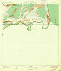
1936 · Mouth Of Rio Grande
USGS Topo · 1:31,680

1953 · Brownsville
USGS Topo · 1:250,000
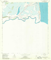
1955 · Mouth Of Rio Grande
USGS Topo · 1:24,000
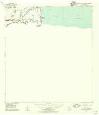
1955 · Mouth Of Rio Grande
USGS Topo · 1:62,500