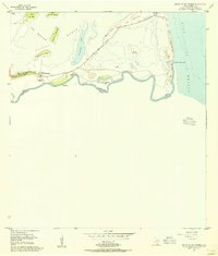
1955 Map of Mouth Of Rio Grande
USGS Topo · Published 1956About this map
The international boundary between the United States and Mexico winds through the sharp meanders of the Rio Grande as it reaches the Gulf of Mexico. This 1955 survey captures the coastal landscape of Cameron County at a point of transition, featuring the Tidewater Dam (Under Construction) and the now-abandoned Port Isabel Reservoir (Aband). The terrain is defined by a series of low hills or lomas, such as Loma de los Ebanitos and Loma de la Pita, rising above the flats of the Laguna Madre. Of particular interest to local historians are the river's complex geological features, including the Stell-Lind Banco No 128 and the sharp turn at Tarpon Bend, which illustrate the shifting nature of the river border before modern stabilization. The Boca Chica Highway provides the primary access across the Mesa del Gavilan toward the Shifting Sand Dunes at the coast.
Find a feature on this map
25 named features on this map. Tap any name to fly to it.
Don’t see what you’re looking for? This feature index may not catch every label — zoom into the map to look around manually.
Map Details
Editions of this 1955 Mouth Of Rio Grande Map
2 editions found
Other maps of this area

1929 · Palmito Hill
USGS Topo · 1:24,000

1929 · Point Isabel
USGS Topo · 1:24,000

1929 · Laguna Vista
USGS Topo · 1:24,000

1934 · Port Isabel
USGS Topo · 1:31,680

1936 · Palmito Hill
USGS Topo · 1:31,680

1936 · Laguna Vista
USGS Topo · 1:31,680
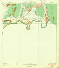
1936 · Mouth Of Rio Grande
USGS Topo · 1:31,680

1953 · Brownsville
USGS Topo · 1:250,000
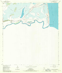
1955 · Mouth Of Rio Grande
USGS Topo · 1:24,000
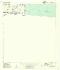
1955 · Mouth Of Rio Grande
USGS Topo · 1:62,500