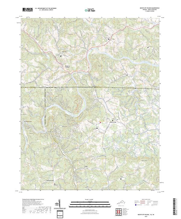
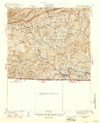
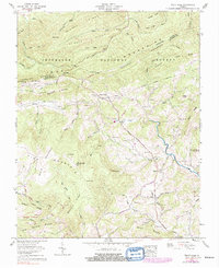
2022 Map of Mouth of Wilson
USGS Topo · Published 2022This historical map portrays the area of Mouth of Wilson in 2022, primarily covering Grayson County as well as portions of North Carolina. Featuring a scale of 1:24000, this map provides a highly detailed snapshot of the terrain, roads, buildings, counties, and historical landmarks in the Mouth of Wilson region at the time. Published in 2022, it is the sole known edition of this map.
Find a feature on this map
55 named features on this map. Tap any name to fly to it.
Don’t see what you’re looking for? This feature index may not catch every label — zoom into the map to look around manually.
Map Details
Editions of this 2022 Mouth of Wilson Map
This is the sole edition of this map. No revisions or reprints were ever made.
Historical Maps of Piney Creek Through Time
17 maps found
1935 Middle Fox Creek
Grayson County, VA

1935 Mount Rogers
Grayson County, VA

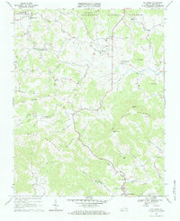
1935 Mouth of Wilson
Grayson County, VA
1935 Trout Dale
Grayson County, VA
1939 Mount Rogers
Grayson County, VA
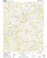
1940 Mouth of Wilson
Grayson County, VA
1959 Middle Fox Creek
Grayson County, VA
1959 Trout Dale
Grayson County, VA
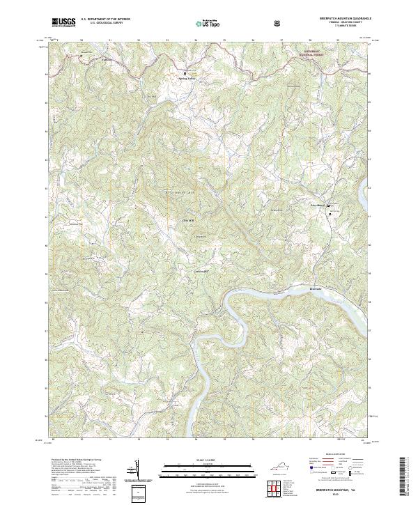
1967 Brierpatch Mountain
Grayson County, VA
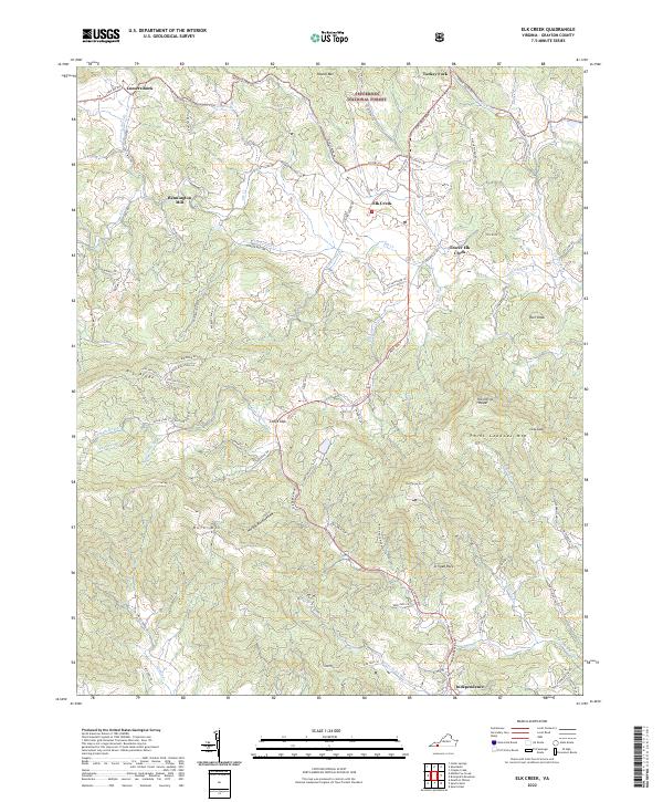
1967 Elk Creek
Grayson County, VA
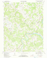
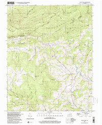
2000 Mouth Of Wilson
Grayson County, VA
2000 Trout Dale
Grayson County, VA
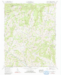
2022 Brierpatch Mountain
Grayson County, VA
2022 Elk Creek
Grayson County, VA
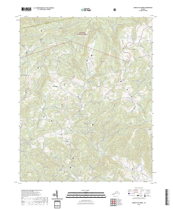
2022 Middle Fox Creek
Grayson County, VA
2022 Mouth of Wilson
Grayson County, VA
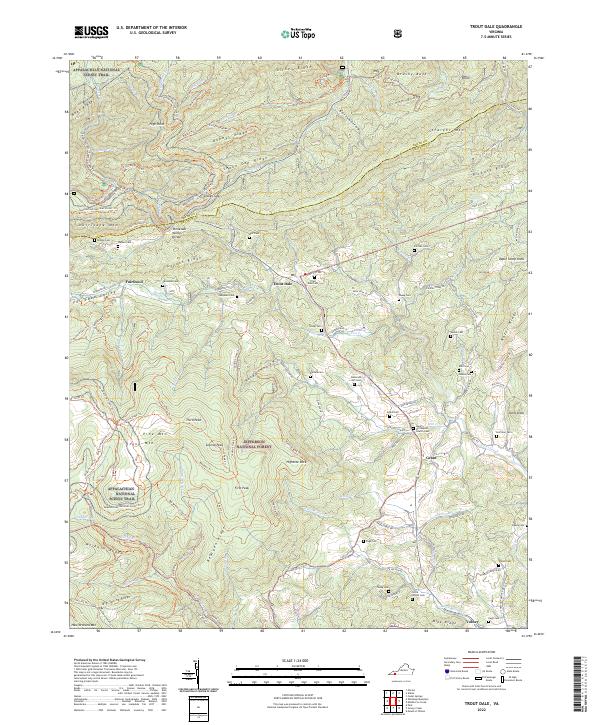
2022 Trout Dale
Grayson County, VA