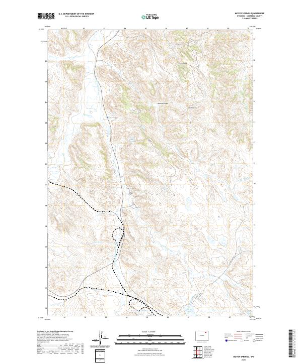
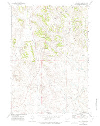
2021 Map of Moyer Springs
USGS Topo · Published 2021About this map
Moyer Springs and the surrounding drainage of the Little Powder River characterize this pocket of Campbell County. The landscape is defined by its hydrology, where vital water sources like Six Half Circle Spring, Nagle Spring, and Halsted Spring supported ranching and early settlement in this semi-arid region. These named springs often mark the original homestead sites or pivotal meeting points for cattle drives.
Find a feature on this map
25 named features on this map. Tap any name to fly to it.
Don’t see what you’re looking for? This feature index may not catch every label — zoom into the map to look around manually.
Map Details
Editions of this 2021 Moyer Springs Map
This is the sole edition of this map. No revisions or reprints were ever made.
Other maps of this area

1954 · Gillette
USGS Topo · 1:250,000

1955 · Gillette
USGS Topo · 1:250,000

1958 · Gillette
USGS Topo · 1:250,000

1962 · Gillette
USGS Topo · 1:250,000

1971 · Gillette East
USGS Topo · 1:24,000

1971 · Green Hill
USGS Topo · 1:24,000
1971 · Calf Creek
USGS Topo · 1:24,000
1971 · Gillette West
USGS Topo · 1:24,000
1971 · Rawhide School
USGS Topo · 1:24,000
1971 · Moyer Springs
USGS Topo · 1:24,000