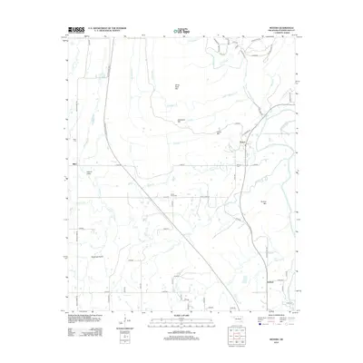
2012 Map of Moyers
USGS Topo · Published 2012About this map
Impson Valley and the flat expanse of Racetrack Prairie define the topography of this corner of Pushmataha County, where the southern Oklahoma landscape transitions from high ridges to fertile creek bottoms. The settlements of Miller, Moyers, and Kellond are positioned near the watercourses that have historically shaped local movement, including Tenmile Cr and the Kiamichi River. Higher elevations are marked by White Rock Mtn, Razorback Mtn, and Parker Mtn, providing a distinct contrast to the low-lying prairie land.
Find a feature on this map
71 named features on this map. Tap any name to fly to it.
Don’t see what you’re looking for? This feature index may not catch every label — zoom into the map to look around manually.
Map Details
Editions of this 2012 Moyers Map
This is the sole edition of this map. No revisions or reprints were ever made.
Other maps of this area
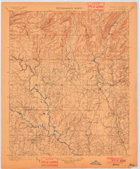
1901 · Antlers
USGS Topo · 1:125,000
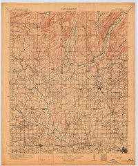
1912 · Antlers
USGS Topo · 1:125,000
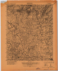
1925 · Antlers
USGS Topo · 1:125,000

1950 · Mcalester
USGS Topo · 1:250,000
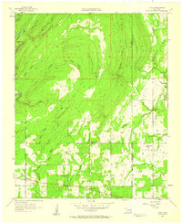
1957 · Farris
USGS Topo · 1:24,000
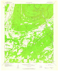
1957 · Moyers
USGS Topo · 1:24,000
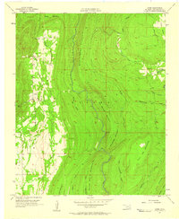
1957 · Jumbo
USGS Topo · 1:24,000
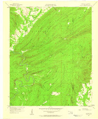
1957 · Lane NE
USGS Topo · 1:24,000
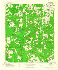
1961 · Darwin
USGS Topo · 1:24,000
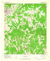
1961 · Antlers East
USGS Topo · 1:24,000