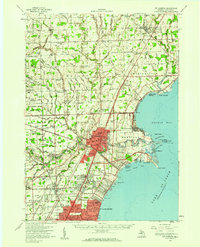
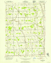
1952 Map of Mt Clemens
USGS Topo · Published 1959This historical map portrays the area of Mt Clemens in 1952, primarily covering Macomb County. Featuring a scale of 1:62500, this map provides a highly detailed snapshot of the terrain, roads, buildings, counties, and historical landmarks in the Mt Clemens region at the time. Published in 1959, it is the sole known edition of this map.
Find a feature on this map
128 named features on this map. Tap any name to fly to it.
Don’t see what you’re looking for? This feature index may not catch every label — zoom into the map to look around manually.
Map Details
Editions of this 1952 Mt Clemens Map
This is the sole edition of this map. No revisions or reprints were ever made.
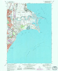
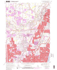
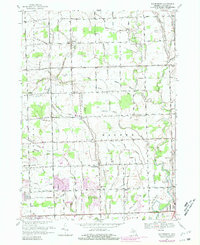
Historical Maps of Anchor Bay Harbor Through Time
13 maps found

1912 Mt Clemens
Macomb County, MI
1929 Mt Clemens
Macomb County, MI
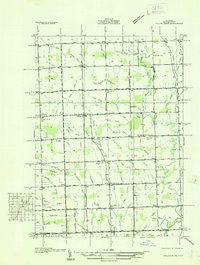
1936 Mt Clemens
Macomb County, MI
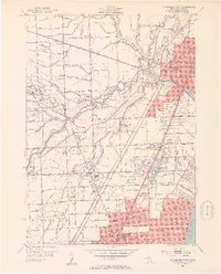
1936 Selfridge Field
Macomb County, MI
1936 Waldenburg
Macomb County, MI
1936 Washington
Macomb County, MI
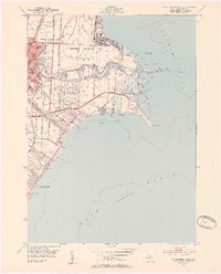
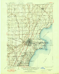
1952 Mt Clemens East
Macomb County, MI
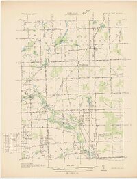
1952 Mt Clemens
Macomb County, MI
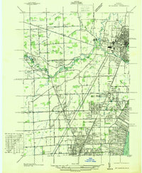
1952 Mt Clemens West
Macomb County, MI
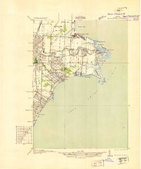
1952 Waldenburg
Macomb County, MI
1968 Mt Clemens East
Macomb County, MI
1968 Mt Clemens West
Macomb County, MI
1968 Waldenburg
Macomb County, MI