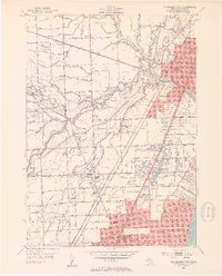
1952 Map of Mt Clemens West
USGS Topo · Published 1953About this map
Mt Clemens serves as the focal point of this Macomb County landscape, where the North Branch Clinton River joins the main stem of the Clinton River before winding toward Lake St Clair. The postwar suburban expansion is visible in the grid of mile roads, including Nineteenmile Road and Fourteenmile Road, cutting through the remaining wetlands of Cranberry Marsh. Aviation history is represented by the presence of both Mc Kinley Airport and Joy Airport, serving the growing population centers of Fraser and Roseville. Local genealogists will find an exceptional concentration of burial grounds, notably the cluster of Hebrew Memorial Park, Lincoln Memorial Cemetery, and the Workmen Circle Cem. The Grand Trunk Railway corridor anchors the industrial and transportation spine of the region, passing through the heart of the developed city limits.
Find a feature on this map
84 named features on this map. Tap any name to fly to it.
Don’t see what you’re looking for? This feature index may not catch every label — zoom into the map to look around manually.
Map Details
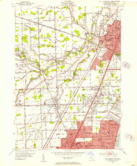
Editions of this 1952 Mt Clemens West Map
2 editions found
Other maps of this area

1905 · Detroit
USGS Topo · 1:62,500

1905 · Grosse Pointe
USGS Topo · 1:62,500

1908 · Rochester
USGS Topo · 1:62,500

1912 · Mt Clemens
USGS Topo · 1:62,500

1918 · Detroit
USGS Topo · 1:62,500

1918 · Grosse Pointe
USGS Topo · 1:62,500

1924 · Detroit
USGS Topo · 1:62,500

1929 · Mt Clemens
USGS Topo · 1:62,500

1934 · Detroit
USGS Topo · 1:62,500

1936 · Warren
USGS Topo · 1:31,680