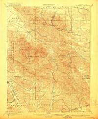
1898 Map of Mt. Diablo
USGS Topo · Published 1922About this map
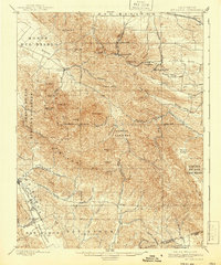
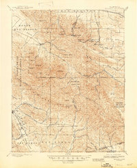
The summit of Mount Diablo dominates this late nineteenth-century survey, surrounded by the industrial activities of the Mount Diablo coal field. Distinct mining settlements such as Nortonville, Somersville, and Stewartville are clearly visible, connected by specialized rail lines including the Empire R. R. and the S. P. R. R. San Francisco & New Orleans Line. This map captures the region before the shift from coal extraction to suburban development, showcasing a landscape of steep canyons and ranching valleys like Lone Tree Valley and Horse Valley. To the west, early agricultural centers such as Clayton, Danville, and San Ramon anchor the valleys of Arroyo de las Nueces y Bolbones and San Ramon Valley. The intricate topography highlights local landmarks like the Star Mine and the rugged contours of the Black Hills, documenting the transition from Spanish land grants to industrial enterprise.
Find a feature on this map
59 named features on this map. Tap any name to fly to it.
Don’t see what you’re looking for? This feature index may not catch every label — zoom into the map to look around manually.
Map Details
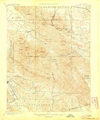
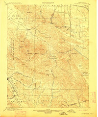
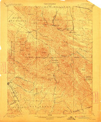
Editions of this 1898 Mt. Diablo Map
7 editions found
Other maps of this area

1896 · Carquinez Strait
USGS Topo · 1:62,500

1896 · Mt. Diablo
USGS Topo · 1:62,500

1897 · Concord
USGS Topo · 1:62,500

1898 · Karquines
USGS Topo · 1:62,500

1898 · Mt. Diablo
USGS Topo · 1:62,500

1899 · Haywards
USGS Topo · 1:62,500

1901 · Karquines
USGS Topo · 1:62,500

1902 · Napa
USGS Topo · 1:125,000

1906 · Pleasanton
USGS Topo · 1:62,500

1907 · Tesla
USGS Topo · 1:62,500