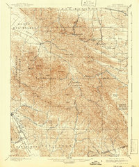
1898 Map of Mt. Diablo
USGS Topo · Published 1941About this map
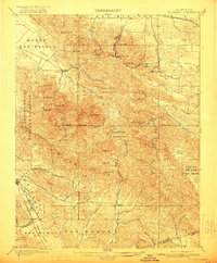
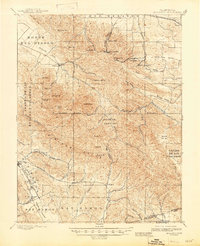
Mt. Diablo and its twin North Peak dominate this landscape, which in the late nineteenth century was a center of industrial activity. To the north, the presence of the Empire R. R. and the Star Mine points to the region's coal mining era, supporting settlements like Nortonville, Somersville, and Stewartville. These mining towns are linked by steep terrain and passes such as Kirker Pass, while the agricultural valleys to the west and south show early development in Clayton, Danville, and San Ramon.
Find a feature on this map
70 named features on this map. Tap any name to fly to it.
Don’t see what you’re looking for? This feature index may not catch every label — zoom into the map to look around manually.
Map Details
Editions of this 1898 Mt. Diablo Map
7 editions found
Other maps of this area

1896 · Carquinez Strait
USGS Topo · 1:62,500

1896 · Mt. Diablo
USGS Topo · 1:62,500

1897 · Concord
USGS Topo · 1:62,500

1898 · Karquines
USGS Topo · 1:62,500

1898 · Mt. Diablo
USGS Topo · 1:62,500

1899 · Haywards
USGS Topo · 1:62,500

1901 · Karquines
USGS Topo · 1:62,500

1902 · Napa
USGS Topo · 1:125,000

1906 · Pleasanton
USGS Topo · 1:62,500

1907 · Tesla
USGS Topo · 1:62,500