
1950 Map of Mt. Dome
USGS Topo · Published 1952About this map
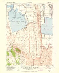
The California-Oregon border country in the 1950s reveals a complex landscape shaped by water reclamation and volcanic history. The northern portion of the quadrangle is defined by the Lower Klamath National Wildlife Refuge and the expansive Tule Lake basin, where a network of irrigation roads like Granger Road and Fensler Road serves the agricultural outposts of Ainsworth Corner and Hatfield. Evidence of the region's storied past is preserved at the Site of Thomas & Wright Massacre and Captain Jacks Stronghold within the Lava Beds National Monument. The terrain transitions from the marshy Lower Klamath Lake Sump to high volcanic features like Mt Dome and Sheepy Peak, while engineering feats like the Tulelake Tunnel highlight the effort to manage the local hydrology for settlements such as Winema Farms.
Find a feature on this map
64 named features on this map. Tap any name to fly to it.
Don’t see what you’re looking for? This feature index may not catch every label — zoom into the map to look around manually.
Map Details
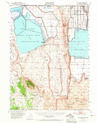
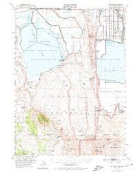
Editions of this 1950 Mt. Dome Map
4 editions found
Other maps of this area

1886 · Modoc Lava Bed
USGS Topo · 1:250,000

1889 · Klamath
USGS Topo · 1:250,000

1892 · Modoc Lava-Bed
USGS Topo · 1:250,000

1894 · Klamath
USGS Topo · 1:250,000

1950 · Bray
USGS Topo · 1:62,500

1950 · Dorris
USGS Topo · 1:62,500

1951 · Tulelake
USGS Topo · 1:62,500

1952 · Timber Mountain
USGS Topo · 1:62,500

1952 · Medicine Lake
USGS Topo · 1:62,500

1954 · Alturas
USGS Topo · 1:250,000