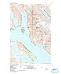
1948 Map of Mt. Fairweather D-2
USGS Topo · Published 1991About this map
Glacier Bay dominates this mid-century topographic study, which captures the complex coastal environment of Southeast Alaska during a period of significant glacial recession. The map illustrates the dramatic meeting of ice and sea, where massive features like Carroll Glacier and Burroughs Glacier define the shoreline and contribute to the formation of deep waterways like Wachusett Inlet and Rendu Inlet.
Find a feature on this map
23 named features on this map. Tap any name to fly to it.
Don’t see what you’re looking for? This feature index may not catch every label — zoom into the map to look around manually.
Map Details
Editions of this 1948 Mt. Fairweather D-2 Map
3 editions found
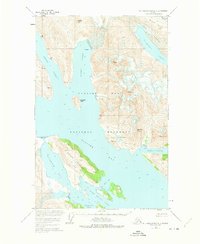
Other maps of this area

1948 · Mount Fairweather D-1
USGS Topo · 1:63,360

1948 · Mount Fairweather D-2
USGS Topo · 1:63,360

1948 · Mount Fairweather C-1
USGS Topo · 1:63,360

1948 · Mount Fairweather C-2
USGS Topo · 1:63,360

1949 · Mount Fairweather C-1
USGS Topo · 1:63,360

1950 · Mount Fairweather D-2
USGS Topo · 1:63,360

1950 · Mount Fairweather C-2
USGS Topo · 1:63,360

1951 · Mt Fairweather
USGS Topo · 1:250,000

1952 · Skagway
USGS Topo · 1:250,000

1954 · Mount Fairweather D-1
USGS Topo · 1:63,360