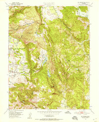
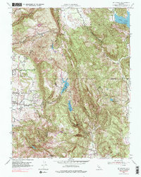
1951 Map of Mt. George
USGS Topo · Published 1957About this map
The hills east of Napa transition from agricultural flats to the steep ridges of the Vaca Mountains in this early 1950s survey. Significant land use is evident near the Napa State Hospital and the nearby Coombsville settlement, which sits along the valley floor. The map highlights the area's early water infrastructure, including reservoirs like Lake Frey, Lake Madigan, and Lake Curry, complete with an Intake Tower and spillways. These water bodies, along with Green Valley Falls, signify the importance of water management for the surrounding Wooden Valley and the developing Napa corridor.
Find a feature on this map
46 named features on this map. Tap any name to fly to it.
Don’t see what you’re looking for? This feature index may not catch every label — zoom into the map to look around manually.
Map Details
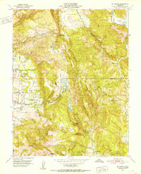
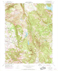
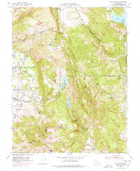
Editions of this 1951 Mt. George Map
5 editions found
Other maps of this area

1896 · Carquinez Strait
USGS Topo · 1:62,500

1898 · Karquines
USGS Topo · 1:62,500

1901 · Karquines
USGS Topo · 1:62,500

1902 · Napa
USGS Topo · 1:125,000

1916 · Mare Island
USGS Topo · 1:62,500

1921 · Mt. Vaca
USGS Topo · 1:62,500

1940 · Carquinez Strait
USGS Topo · 1:62,500

1942 · Mare Island
USGS Topo · 1:62,500

1942 · Carquinez
USGS Topo · 1:62,500

1942 · Sonoma
USGS Topo · 1:62,500