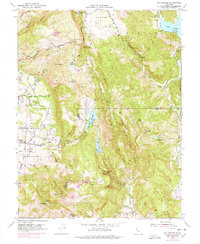
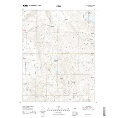
1951 Map of Mt. George
USGS Topo · Published 1978About this map
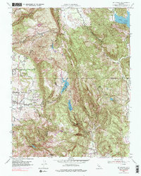
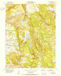
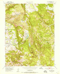
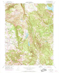
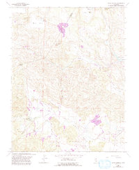
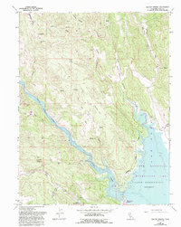
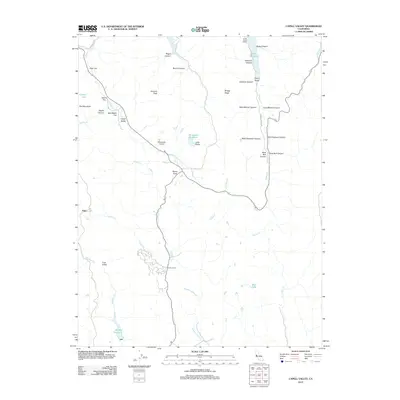
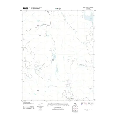
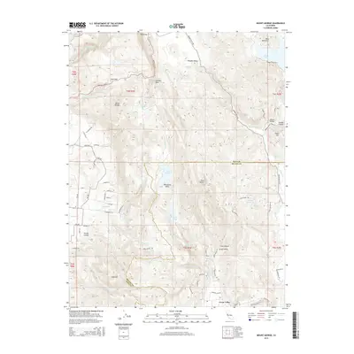
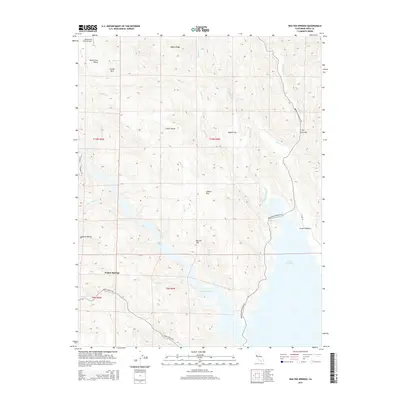
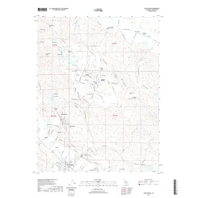
Wooden Valley and the surrounding peaks of the southern Mayacamas Mountains define this 1951 landscape, which captures a transition between the developing Napa valley floor and the high watershed. The map records a series of vital water resources for the region, including Lake Curry, Lake Madigan, and Lake Frey, which are situated along the Napa Co Solano Co line. Near the western edge, institutional and social landmarks like the Napa State Hospital and Napa Valley Country Club appear alongside localized settlements such as Murphy and the Mt George Union Sch.
Find a feature on this map
34 named features on this map. Tap any name to fly to it.
Don’t see what you’re looking for? This feature index may not catch every label — zoom into the map to look around manually.
Map Details
Editions of this 1951 Mt. George Map
5 editions found
Historical Maps of Green Valley Through Time
47 maps found
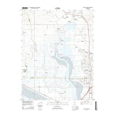
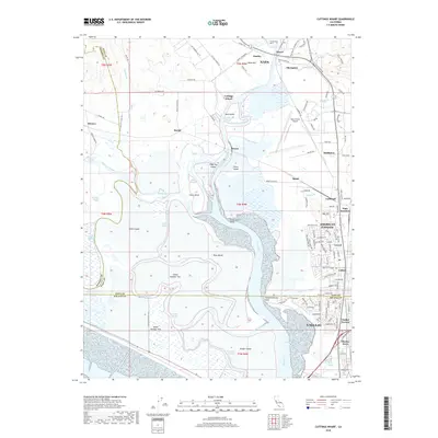
1949 Cuttings Wharf
Napa County, CA
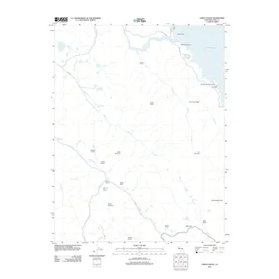
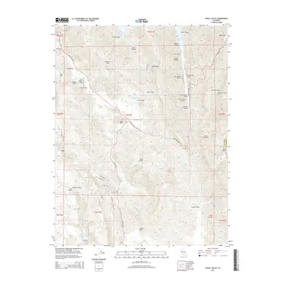
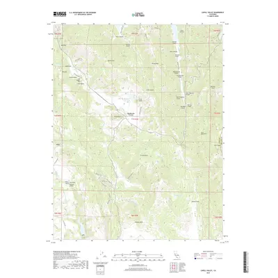
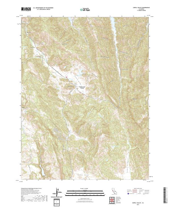
1951 Capell Valley
Napa County, CA
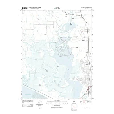
1951 Cuttings Wharf
Napa County, CA
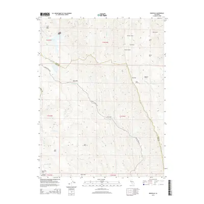
1951 Mt. George
Napa County, CA
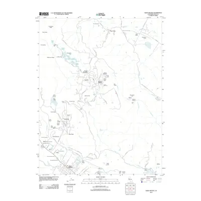
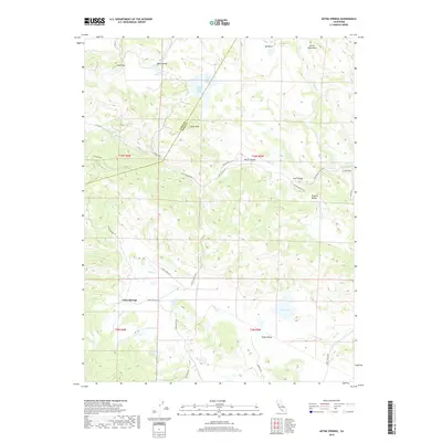
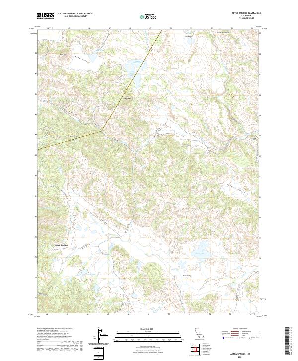
1958 Aetna Springs
Napa County, CA
1958 Chiles Valley
Napa County, CA
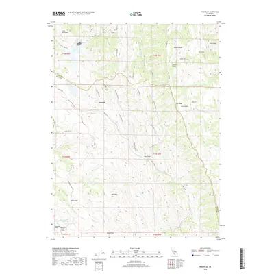
1958 Knoxville
Napa County, CA
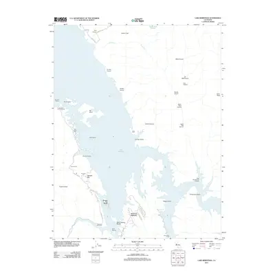
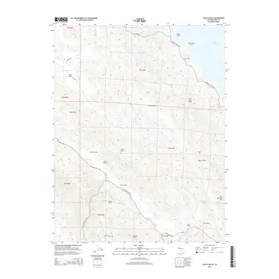
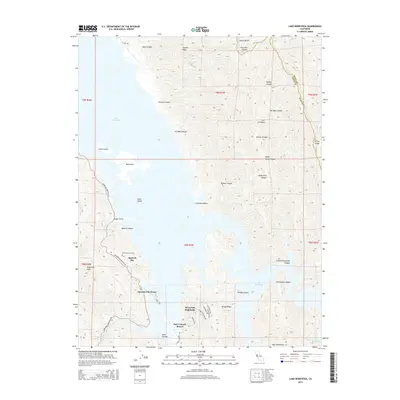
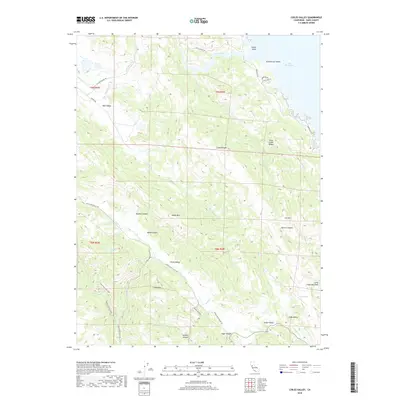
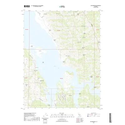
1959 Lake Berryessa
Napa County, CA
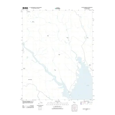
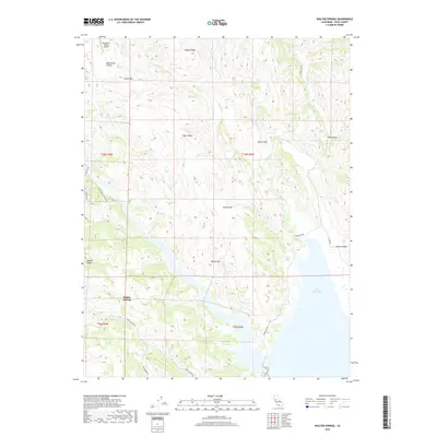
1959 Walter Springs
Napa County, CA
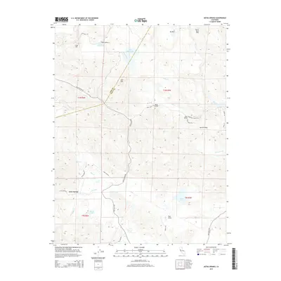
1998 Aetna Springs
Napa County, CA
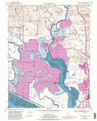
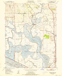
1998 Lake Berryessa
Napa County, CA
2012 Aetna Springs
Napa County, CA
2012 Capell Valley
Napa County, CA
2012 Chiles Valley
Napa County, CA
2012 Cuttings Wharf
Napa County, CA
2012 Knoxville
Napa County, CA
2012 Lake Berryessa
Napa County, CA
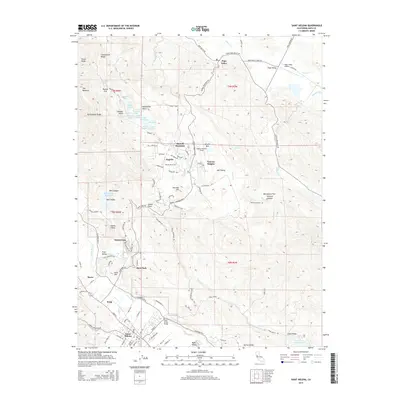
2012 Mount George
Napa County, CA
2012 Saint Helena
Napa County, CA
2012 Walter Springs
Napa County, CA
2015 Aetna Springs
Napa County, CA
2015 Capell Valley
Napa County, CA
2015 Chiles Valley
Napa County, CA
2015 Cuttings Wharf
Napa County, CA
2015 Knoxville
Napa County, CA
2015 Lake Berryessa
Napa County, CA
2015 Mount George
Napa County, CA
2015 Saint Helena
Napa County, CA
2015 Walter Springs
Napa County, CA
2018 Aetna Springs
Napa County, CA
2018 Capell Valley
Napa County, CA
2018 Chiles Valley
Napa County, CA
2018 Cuttings Wharf
Napa County, CA
2018 Knoxville
Napa County, CA
2018 Lake Berryessa
Napa County, CA
2018 Mount George
Napa County, CA
2018 Saint Helena
Napa County, CA
2018 Walter Springs
Napa County, CA
2021 Aetna Springs
Napa County, CA
2021 Capell Valley
Napa County, CA
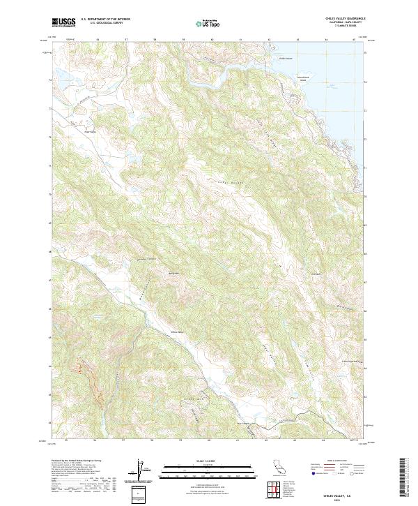
2021 Chiles Valley
Napa County, CA
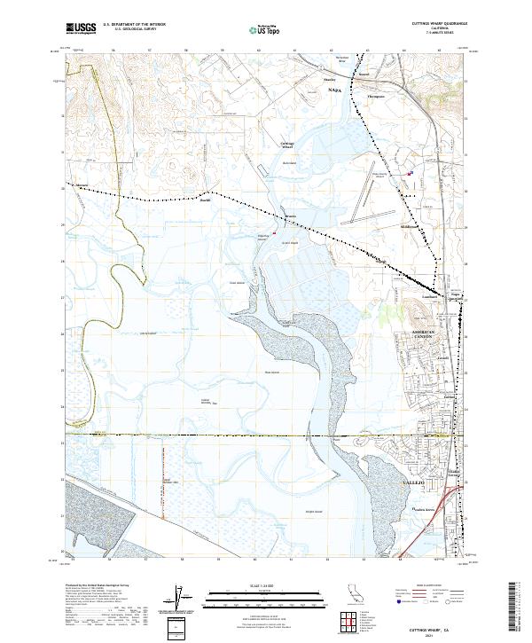
2021 Cuttings Wharf
Napa County, CA
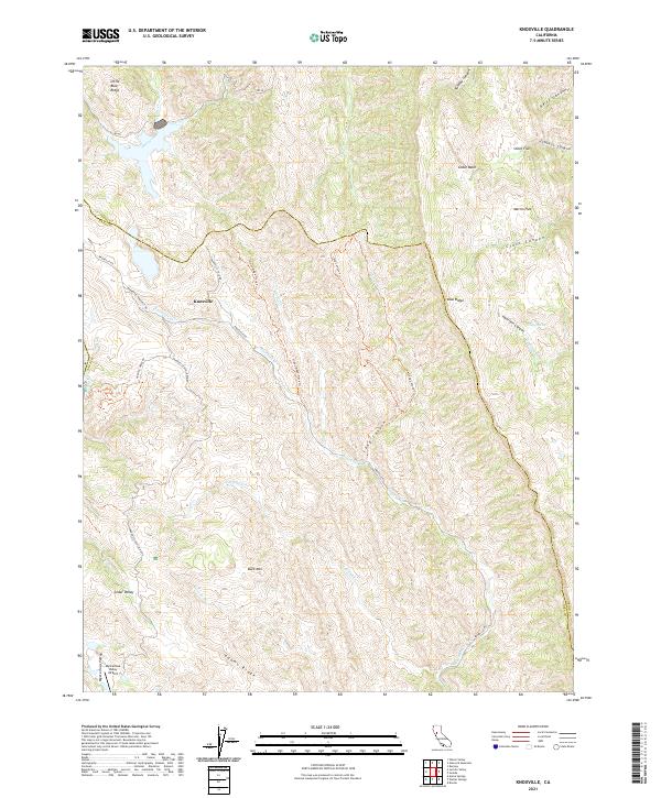
2021 Knoxville
Napa County, CA
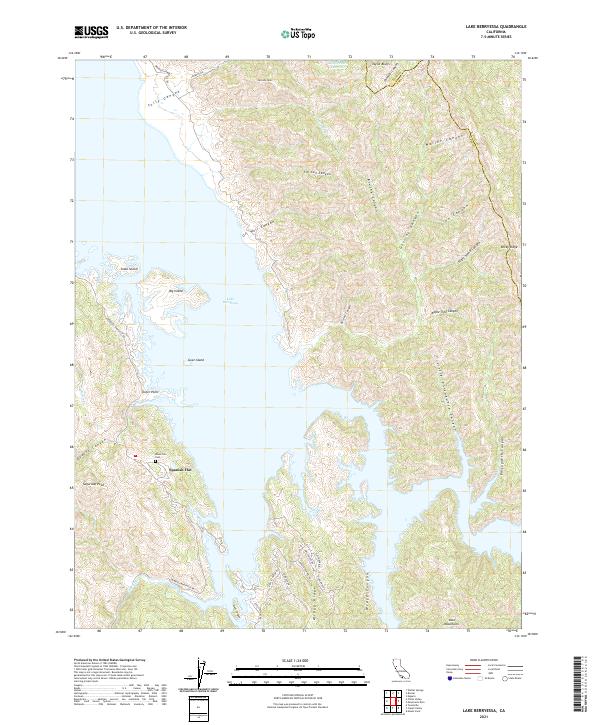
2021 Lake Berryessa
Napa County, CA
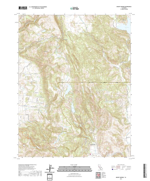
2021 Mount George
Napa County, CA
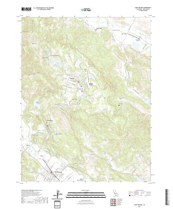
2021 Saint Helena
Napa County, CA
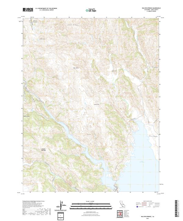
2021 Walter Springs
Napa County, CA