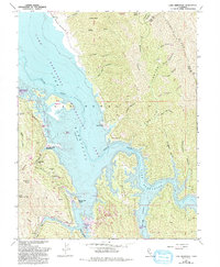
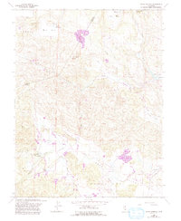
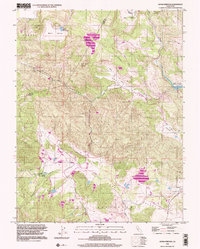
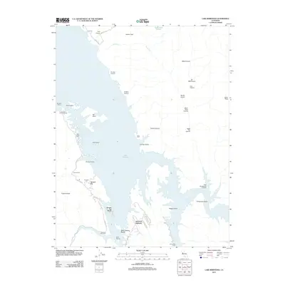
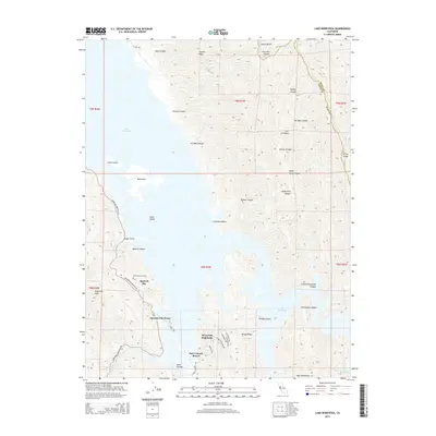
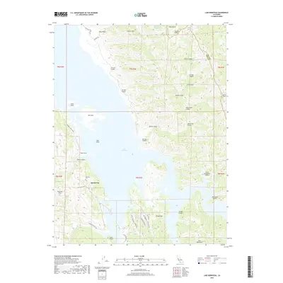
1959 Map of Lake Berryessa
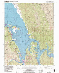
USGS Topo · Published 1993About this map
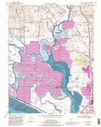
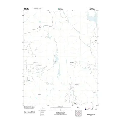
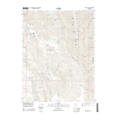
Lake Berryessa and the Lake Berryessa Recreation Area dominate this landscape along the border of Yolo and Napa counties. This revised survey reveals the specialized mid-century recreation economy that developed around the reservoir's western shoreline, notably at Spanish Flat and various resorts. While the waters of Putah Creek submerged the historic town of Monticello, the Monticello Cem serves as a poignant reminder of the community relocated to the hills.
Find a feature on this map
50 named features on this map. Tap any name to fly to it.
Don’t see what you’re looking for? This feature index may not catch every label — zoom into the map to look around manually.
Map Details
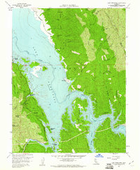
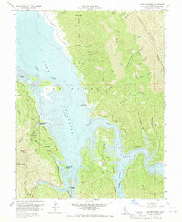
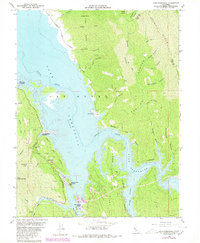
Editions of this 1959 Lake Berryessa Map
4 editions found
Historical Maps of Steel Canyon Resort Through Time
47 maps found
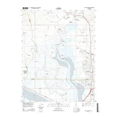
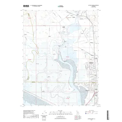
1949 Cuttings Wharf
Napa County, CA
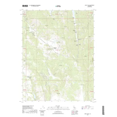
1951 Capell Valley
Napa County, CA
1951 Cuttings Wharf
Napa County, CA
1951 Mt. George
Napa County, CA
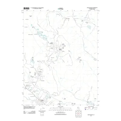
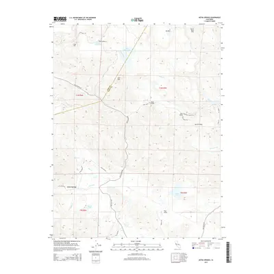
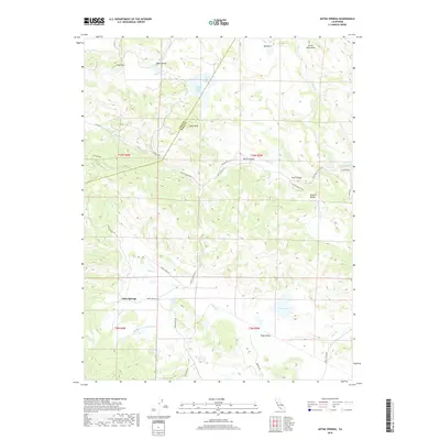
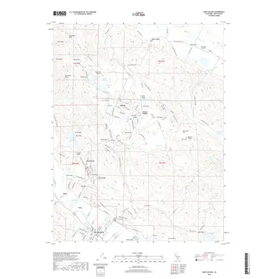
1958 Aetna Springs
Napa County, CA
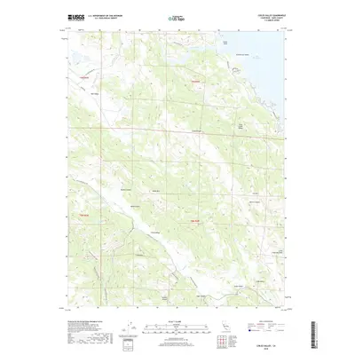
1958 Chiles Valley
Napa County, CA
1958 Knoxville
Napa County, CA
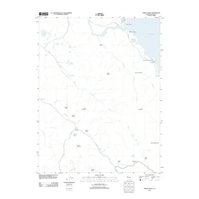
1959 Lake Berryessa
Napa County, CA
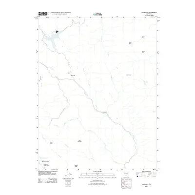
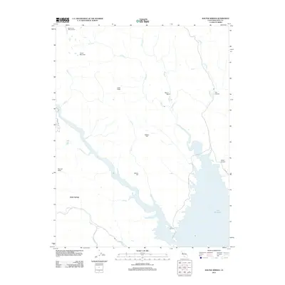
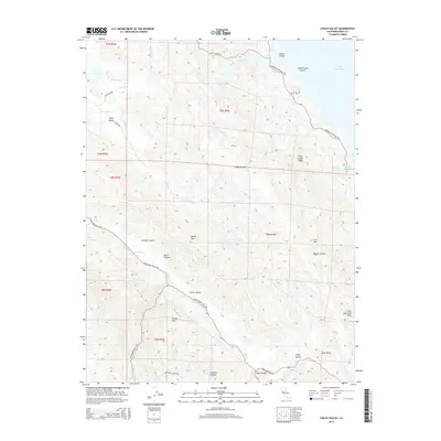
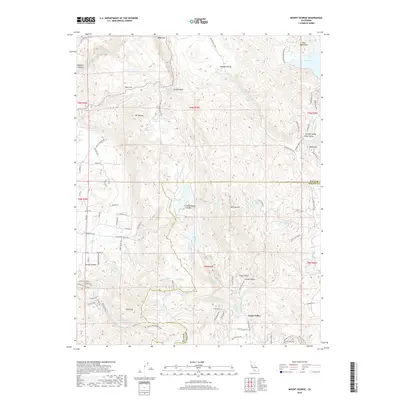
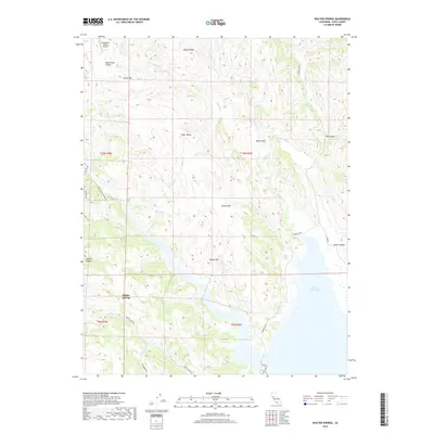
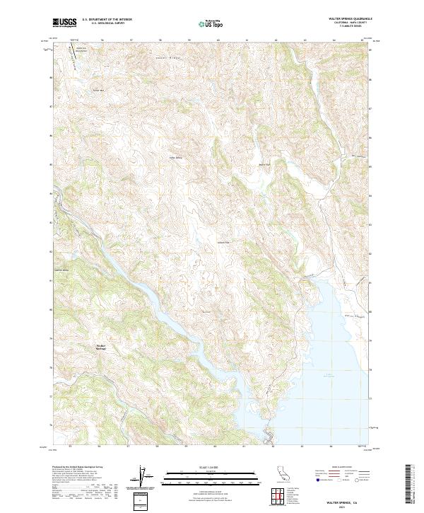
1959 Walter Springs
Napa County, CA
1998 Aetna Springs
Napa County, CA
1998 Lake Berryessa
Napa County, CA
2012 Aetna Springs
Napa County, CA
2012 Capell Valley
Napa County, CA
2012 Chiles Valley
Napa County, CA
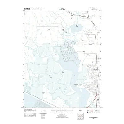
2012 Cuttings Wharf
Napa County, CA
2012 Knoxville
Napa County, CA
2012 Lake Berryessa
Napa County, CA
2012 Mount George
Napa County, CA
2012 Saint Helena
Napa County, CA
2012 Walter Springs
Napa County, CA
2015 Aetna Springs
Napa County, CA
2015 Capell Valley
Napa County, CA
2015 Chiles Valley
Napa County, CA
2015 Cuttings Wharf
Napa County, CA
2015 Knoxville
Napa County, CA
2015 Lake Berryessa
Napa County, CA
2015 Mount George
Napa County, CA
2015 Saint Helena
Napa County, CA
2015 Walter Springs
Napa County, CA
2018 Aetna Springs
Napa County, CA
2018 Capell Valley
Napa County, CA
2018 Chiles Valley
Napa County, CA
2018 Cuttings Wharf
Napa County, CA
2018 Knoxville
Napa County, CA
2018 Lake Berryessa
Napa County, CA
2018 Mount George
Napa County, CA
2018 Saint Helena
Napa County, CA
2018 Walter Springs
Napa County, CA
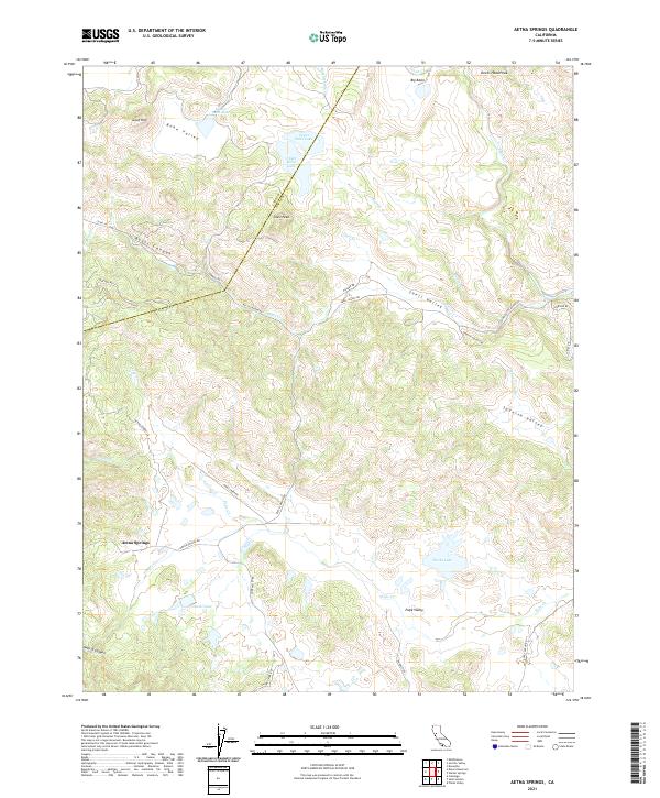
2021 Aetna Springs
Napa County, CA
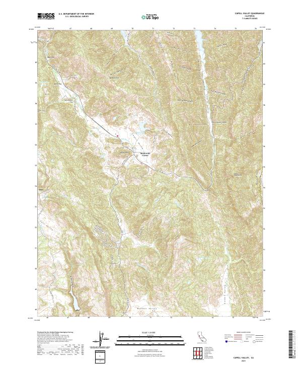
2021 Capell Valley
Napa County, CA
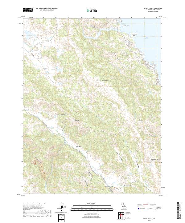
2021 Chiles Valley
Napa County, CA
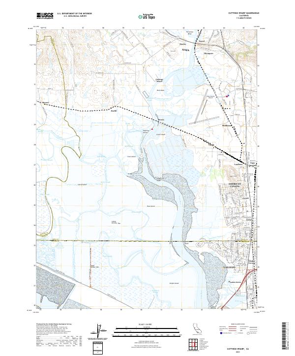
2021 Cuttings Wharf
Napa County, CA
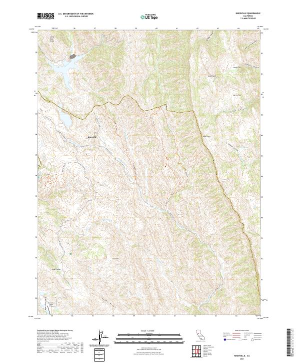
2021 Knoxville
Napa County, CA
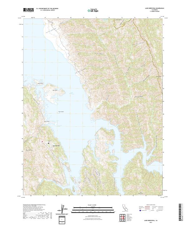
2021 Lake Berryessa
Napa County, CA
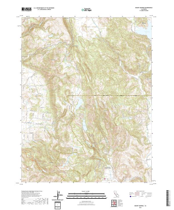
2021 Mount George
Napa County, CA
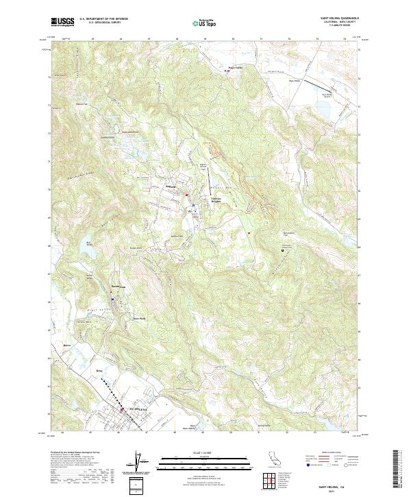
2021 Saint Helena
Napa County, CA
2021 Walter Springs
Napa County, CA
Featured Locations
- Yolo County, CA
- Berryessa Highlands, CA
- Spanish Flat, CA
- Spanish Flat Resort, CA
- Steel Canyon Resort, CA