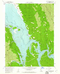
1959 Map of Lake Berryessa
USGS Topo · Published 1961About this map
Lake Berryessa dominates this landscape just years after the completion of the Monticello Dam, which flooded the Berryessa Valley. The map documents the early stages of recreational development along the new shoreline, highlighting the emergence of the Spanish Flat Resort, Berryessa Marina, and Steel Canyon Resort. While the waters of the lake have reshaped the terrain, the surviving Monticello Cem remains a poignant marker of the community submerged beneath the Putah Creek basin.
Find a feature on this map
41 named features on this map. Tap any name to fly to it.
Don’t see what you’re looking for? This feature index may not catch every label — zoom into the map to look around manually.
Map Details
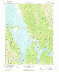
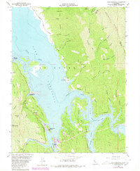
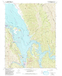
Editions of this 1959 Lake Berryessa Map
4 editions found
Other maps of this area

1902 · Napa
USGS Topo · 1:125,000

1905 · Esparto
USGS Topo · 1:24,000

1916 · Esparto
USGS Topo · 1:31,680

1921 · Mt. Vaca
USGS Topo · 1:62,500

1924 · Capay
USGS Topo · 1:62,500

1942 · Sonoma
USGS Topo · 1:62,500

1942 · Mt. Vaca
USGS Topo · 1:62,500

1942 · St. Helena
USGS Topo · 1:62,500

1943 · Capay
USGS Topo · 1:62,500

1945 · Capay
USGS Topo · 1:62,500
Featured Places
- Steel Canyon Resort, CA
- Spanish Flat, CA
- Berryessa Highlands, CA
- Spanish Flat Resort, CA
- Yolo County, CA