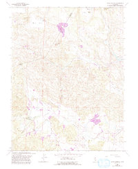
1958 Map of Aetna Springs
USGS Topo · Published 1993About this map
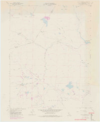
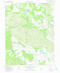
Aetna Springs sits at the heart of this landscape, where the rugged topography of the Lake Co Napa Co border gives way to productive valleys. The map documents a blend of recreation and industry, showing a Golf Course adjacent to the springs, while the nearby Aetna Mine and a Gravel Pit indicate the area's mineral extraction history. The terrain is defined by dramatic elevation changes, from the heights of Snell Peak and Devils Head Peak down to the basins of Bohn Valley and Snell Valley.
Find a feature on this map
38 named features on this map. Tap any name to fly to it.
Don’t see what you’re looking for? This feature index may not catch every label — zoom into the map to look around manually.
Map Details
Editions of this 1958 Aetna Springs Map
6 editions found
Other maps of this area

1927 · Calistoga
USGS Topo · 1:62,500

1942 · St. Helena
USGS Topo · 1:62,500

1943 · Morgan Valley
USGS Topo · 1:62,500

1943 · Calistoga
USGS Topo · 1:62,500

1944 · Morgan Valley
USGS Topo · 1:62,500

1945 · Calistoga
USGS Topo · 1:62,500

1945 · St. Helena
USGS Topo · 1:62,500

1945 · Lower Lake
USGS Topo · 1:62,500

1947 · Santa Rosa
USGS Topo · 1:250,000

1949 · Santa Rosa
USGS Topo · 1:250,000