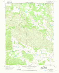
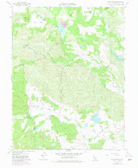
1958 Map of Aetna Springs
USGS Topo · Published 1970About this map
Aetna Springs and its surrounding resort grounds sit at the heart of this Napa County survey, showcasing a landscape of mineral springs and recreational development including a Golf Course. The terrain transitions from the deep depressions of Pope Valley and Snell Valley to the dramatic heights of Goat Hill and Snell Peak. The eastern edge of the map captures the rising waters of Lake Berryessa at its spillway elevation, a significant change to the local hydrology during this era.
Find a feature on this map
37 named features on this map. Tap any name to fly to it.
Don’t see what you’re looking for? This feature index may not catch every label — zoom into the map to look around manually.
Map Details
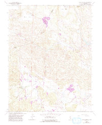
Editions of this 1958 Aetna Springs Map
6 editions found
Other maps of this area

1927 · Calistoga
USGS Topo · 1:62,500

1942 · St. Helena
USGS Topo · 1:62,500

1943 · Morgan Valley
USGS Topo · 1:62,500

1943 · Calistoga
USGS Topo · 1:62,500

1944 · Morgan Valley
USGS Topo · 1:62,500

1945 · Calistoga
USGS Topo · 1:62,500

1945 · St. Helena
USGS Topo · 1:62,500

1945 · Lower Lake
USGS Topo · 1:62,500

1947 · Santa Rosa
USGS Topo · 1:250,000

1949 · Santa Rosa
USGS Topo · 1:250,000