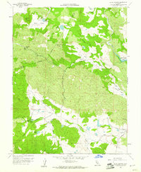
1958 Map of Aetna Springs
USGS Topo · Published 1961About this map
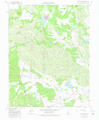
The thermal resort of Aetna Springs and the nearby Aetna Mine anchor this mid-century survey of the rugged interior of northern Napa County. This landscape is defined by its dramatic relief and varied watersheds, where the drainage of James Creek and Pope Creek meet in the broad floor of Pope Valley. The map captures the northeastern corner of the county just as the newly created Lake Berryessa begins to fill the lower reaches of Putah Creek, a transformative change for the local geography. Further north, the remote Snell Valley and Butts Canyon provide a glimpse into the historic ranching and mining character of the region, including the White Rock Mine and the Guenoc land grant area. From the high points like Snell Peak to the various small mountain lakes such as Lower Bohn Lake, the sheet documents a quiet, transitionary era for this California upland.
Find a feature on this map
35 named features on this map. Tap any name to fly to it.
Don’t see what you’re looking for? This feature index may not catch every label — zoom into the map to look around manually.
Map Details
Editions of this 1958 Aetna Springs Map
6 editions found
Other maps of this area

1927 · Calistoga
USGS Topo · 1:62,500

1942 · St. Helena
USGS Topo · 1:62,500

1943 · Morgan Valley
USGS Topo · 1:62,500

1943 · Calistoga
USGS Topo · 1:62,500

1944 · Morgan Valley
USGS Topo · 1:62,500

1945 · Calistoga
USGS Topo · 1:62,500

1945 · St. Helena
USGS Topo · 1:62,500

1945 · Lower Lake
USGS Topo · 1:62,500

1947 · Santa Rosa
USGS Topo · 1:250,000

1949 · Santa Rosa
USGS Topo · 1:250,000