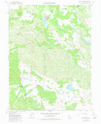
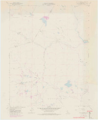
1958 Map of Aetna Springs
USGS Topo · Published 1982About this map
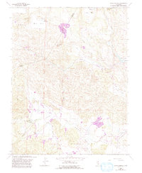
Aetna Springs and the surrounding drainages of northern Napa County are captured during a period of transition, with early 1980s updates revising a base 1957 photogrammetric survey. The landscape is defined by its series of parallel valleys, including Pope Valley, Snell Valley, and Locoallomi Valley, where agriculture and mineral extraction intersect. Evidence of local industry appears at the White Rock Mine and a nearby Gravel Pit along the eastern edge, while the burgeoning reservoir system is marked by the presence of Lake Berryessa. The map provides specific locations for the Cem and settlements like Black Oak Villa, alongside recreational and natural water features such as Duvall Lake, Upper Bohn Lake, and Lower Bohn Lake.
Find a feature on this map
31 named features on this map. Tap any name to fly to it.
Don’t see what you’re looking for? This feature index may not catch every label — zoom into the map to look around manually.
Map Details
Editions of this 1958 Aetna Springs Map
6 editions found
Other maps of this area

1927 · Calistoga
USGS Topo · 1:62,500

1942 · St. Helena
USGS Topo · 1:62,500

1943 · Morgan Valley
USGS Topo · 1:62,500

1943 · Calistoga
USGS Topo · 1:62,500

1944 · Morgan Valley
USGS Topo · 1:62,500

1945 · Calistoga
USGS Topo · 1:62,500

1945 · St. Helena
USGS Topo · 1:62,500

1945 · Lower Lake
USGS Topo · 1:62,500

1947 · Santa Rosa
USGS Topo · 1:250,000

1949 · Santa Rosa
USGS Topo · 1:250,000