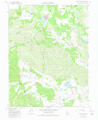
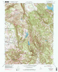
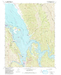
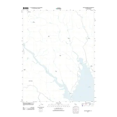
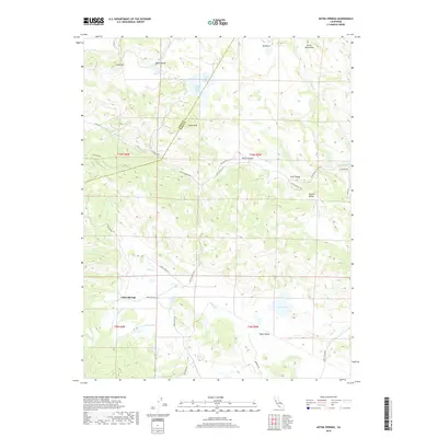
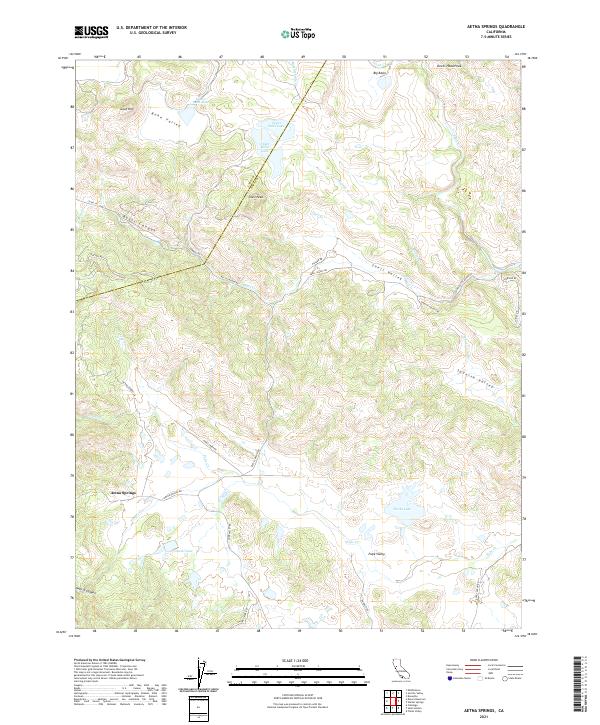
1958 Map of Aetna Springs
USGS Topo · Published 1982About this map
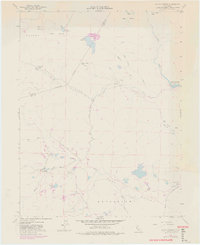
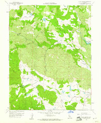
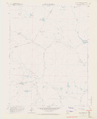
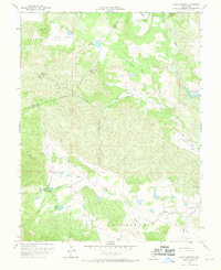
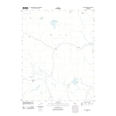
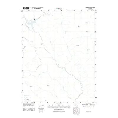
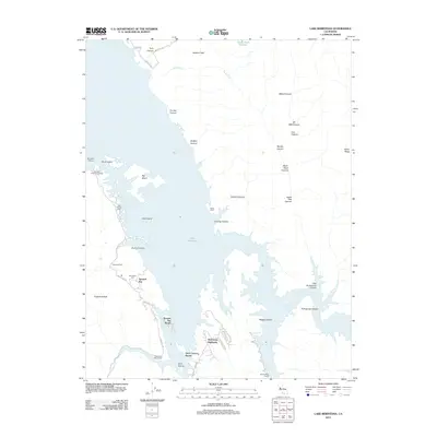
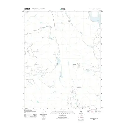
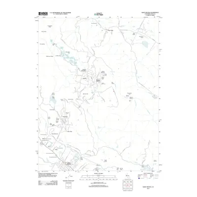
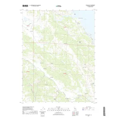
Aetna Springs and the surrounding resort landscape of northern Napa County are documented here through a multi-decade lens, with initial 1957 photogrammetric data updated by 1978 aerial revisions. This corner of the California Coast Ranges is characterized by a mix of narrow valleys and prominent peaks like Snell Peak and Devils Head Peak. The map reveals a land defined by water and ranching, from the northern reach of Lake Berryessa to the smaller catchments of Upper Bohn Lake and Duvall Lake.
Find a feature on this map
32 named features on this map. Tap any name to fly to it.
Don’t see what you’re looking for? This feature index may not catch every label — zoom into the map to look around manually.
Map Details
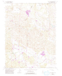
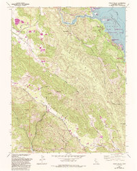
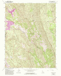
Editions of this 1958 Aetna Springs Map
6 editions found
Historical Maps of Aetna Springs Through Time
47 maps found
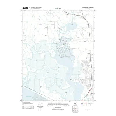
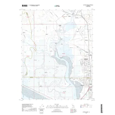
1949 Cuttings Wharf
Napa County, CA
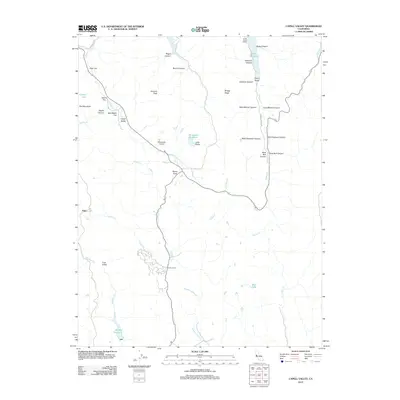
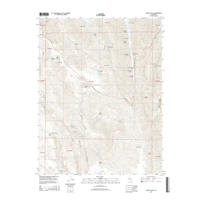
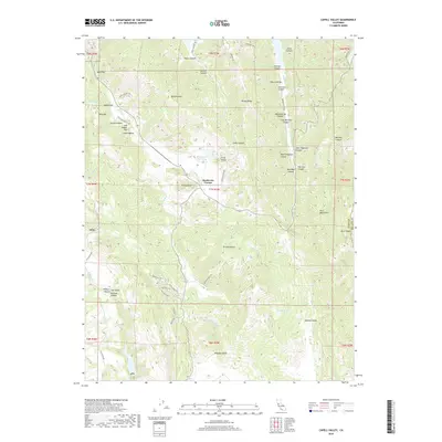
1951 Capell Valley
Napa County, CA
1951 Cuttings Wharf
Napa County, CA
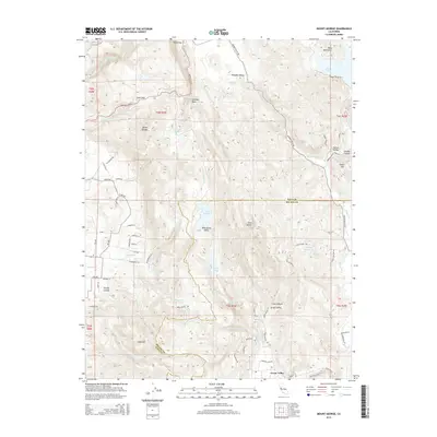
1951 Mt. George
Napa County, CA
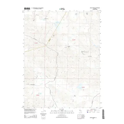
1958 Aetna Springs
Napa County, CA
1958 Chiles Valley
Napa County, CA
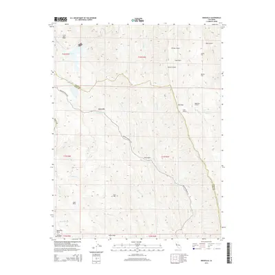
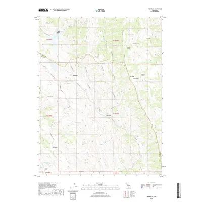
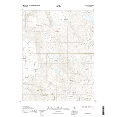
1958 Knoxville
Napa County, CA
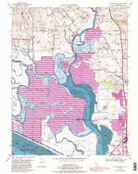
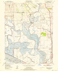
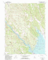
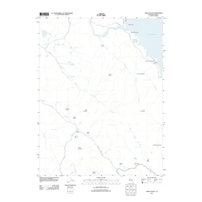
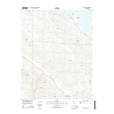
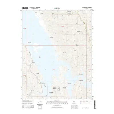
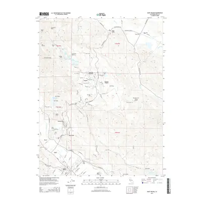
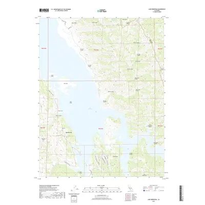
1959 Lake Berryessa
Napa County, CA
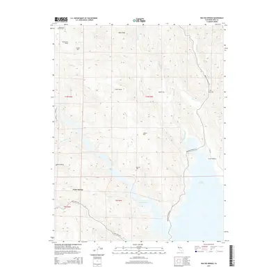
1959 Walter Springs
Napa County, CA
1998 Aetna Springs
Napa County, CA
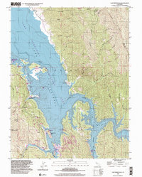
1998 Lake Berryessa
Napa County, CA
2012 Aetna Springs
Napa County, CA
2012 Capell Valley
Napa County, CA
2012 Chiles Valley
Napa County, CA
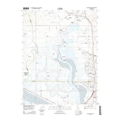
2012 Cuttings Wharf
Napa County, CA
2012 Knoxville
Napa County, CA
2012 Lake Berryessa
Napa County, CA
2012 Mount George
Napa County, CA
2012 Saint Helena
Napa County, CA
2012 Walter Springs
Napa County, CA
2015 Aetna Springs
Napa County, CA
2015 Capell Valley
Napa County, CA
2015 Chiles Valley
Napa County, CA
2015 Cuttings Wharf
Napa County, CA
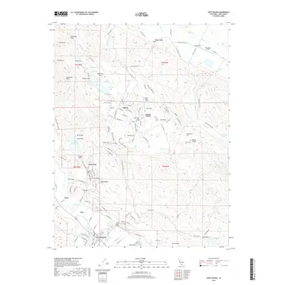
2015 Knoxville
Napa County, CA
2015 Lake Berryessa
Napa County, CA
2015 Mount George
Napa County, CA
2015 Saint Helena
Napa County, CA
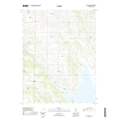
2015 Walter Springs
Napa County, CA
2018 Aetna Springs
Napa County, CA
2018 Capell Valley
Napa County, CA
2018 Chiles Valley
Napa County, CA
2018 Cuttings Wharf
Napa County, CA
2018 Knoxville
Napa County, CA
2018 Lake Berryessa
Napa County, CA
2018 Mount George
Napa County, CA
2018 Saint Helena
Napa County, CA
2018 Walter Springs
Napa County, CA
2021 Aetna Springs
Napa County, CA
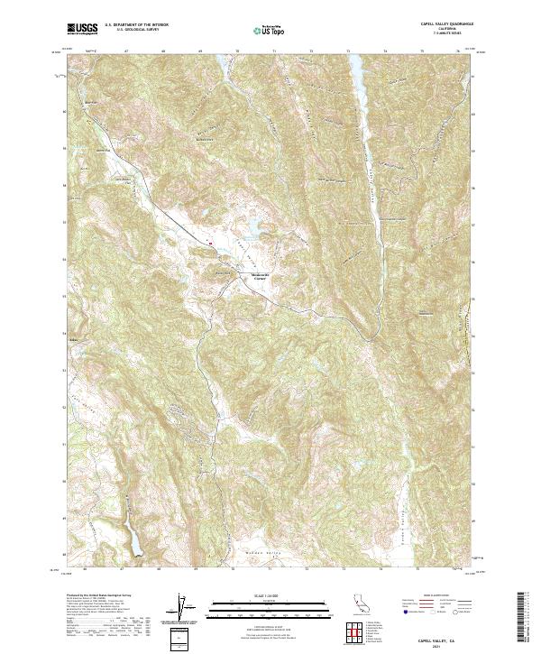
2021 Capell Valley
Napa County, CA
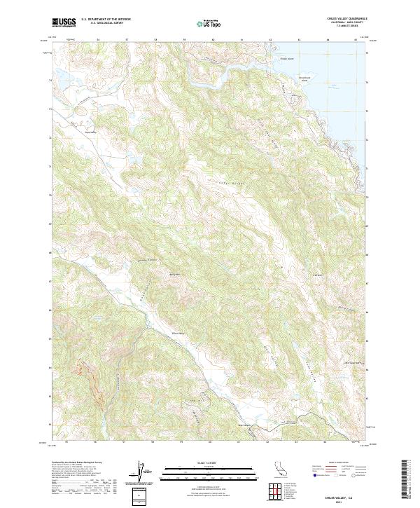
2021 Chiles Valley
Napa County, CA
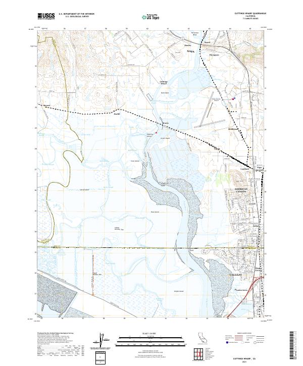
2021 Cuttings Wharf
Napa County, CA
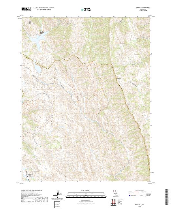
2021 Knoxville
Napa County, CA
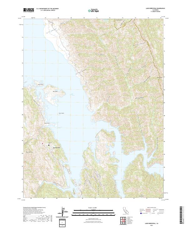
2021 Lake Berryessa
Napa County, CA
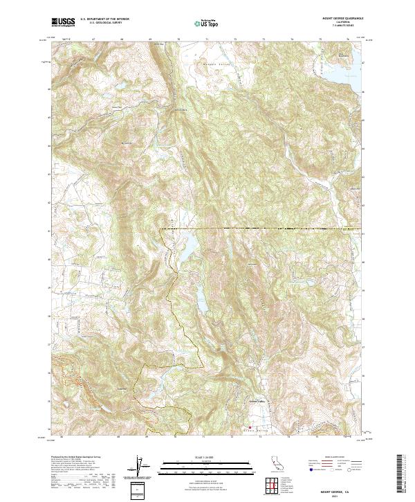
2021 Mount George
Napa County, CA
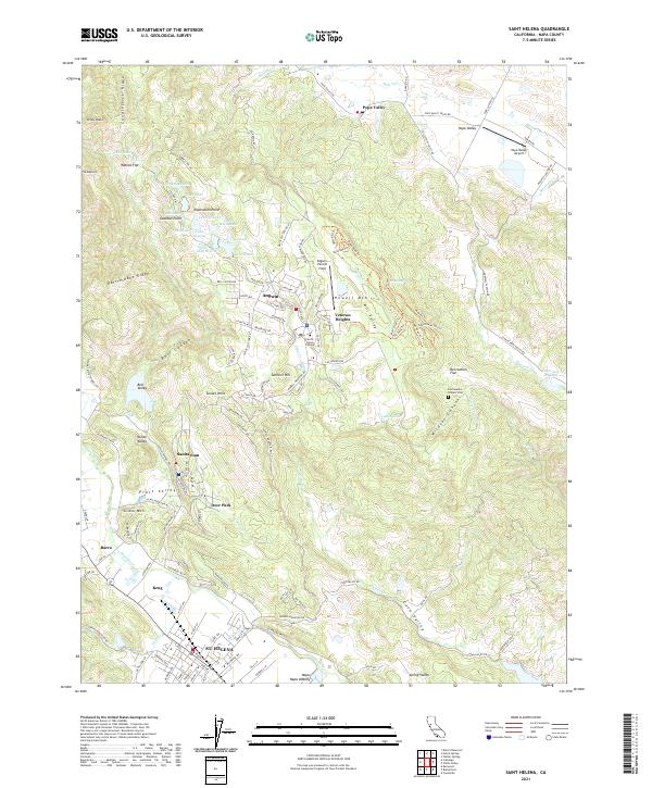
2021 Saint Helena
Napa County, CA
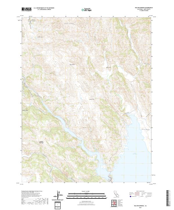
2021 Walter Springs
Napa County, CA