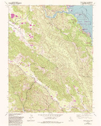
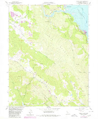
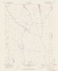
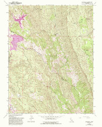
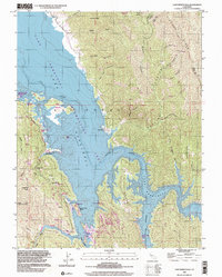
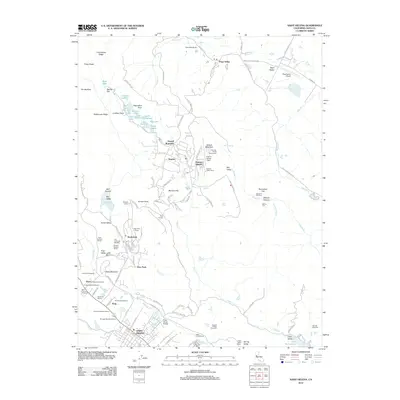
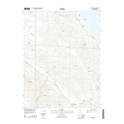
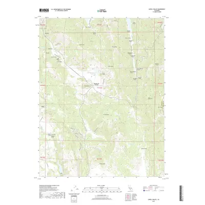
1958 Map of Chiles Valley
USGS Topo · Published 1993About this map
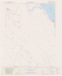
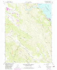
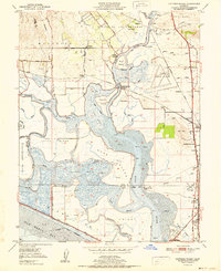
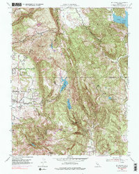
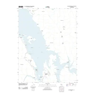
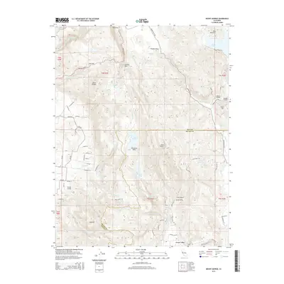
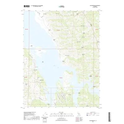
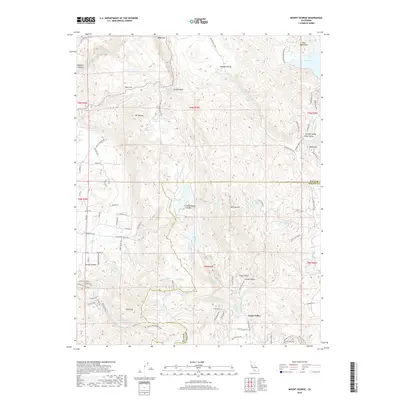
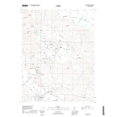
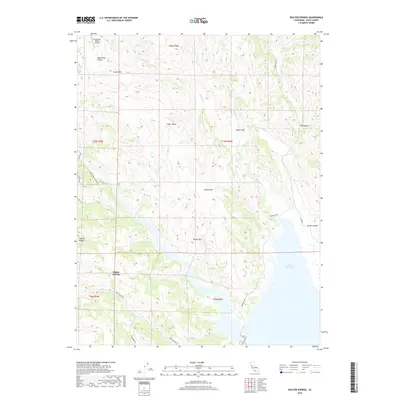
Samuel Springs and the surrounding drainages of Pope Creek and Maxwell Creek define the northern reaches of this Napa County survey. The landscape is dominated by the steep ridges of the Cedar Roughs and Green Mountain, which separate the narrow Chiles Valley from the western shores of Lake Berryessa. The map documents a recreation-driven economy that matured in the decades following the mid-century, evidenced by purple-ink updates showing the Rancho Monticello Resort, Lake Berryessa Marina Resort, and Putah Creek Resort. Along Chiles Valley Road, a solitary Historical Marker stands near Chiles Creek, noting the long-standing significance of this corridor. To the southwest, the reservoir at Lake Hennessey and its Recreation Area serve as a primary water and leisure hub, while smaller named points like Soda Spr and the site at McCurdy hint at the area's earlier rural settlement patterns.
Find a feature on this map
41 named features on this map. Tap any name to fly to it.
Don’t see what you’re looking for? This feature index may not catch every label — zoom into the map to look around manually.
Map Details
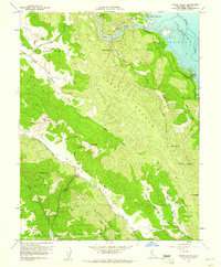
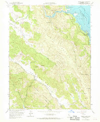
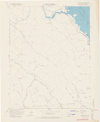
Editions of this 1958 Chiles Valley Map
8 editions found

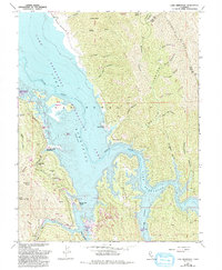
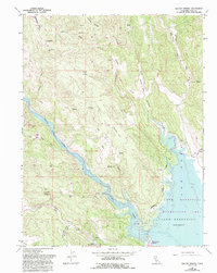
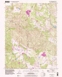
Historical Maps of Napa County Through Time
47 maps found
1949 Cuttings Wharf
Napa County, CA
1951 Capell Valley
Napa County, CA
1951 Cuttings Wharf
Napa County, CA
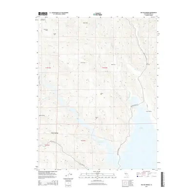
1951 Mt. George
Napa County, CA
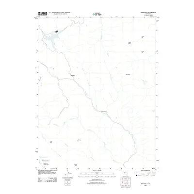
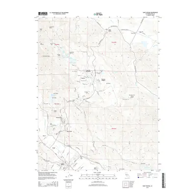
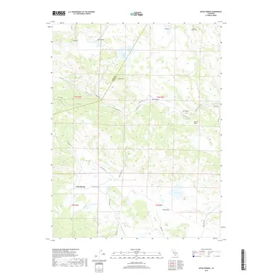
1958 Aetna Springs
Napa County, CA
1958 Chiles Valley
Napa County, CA
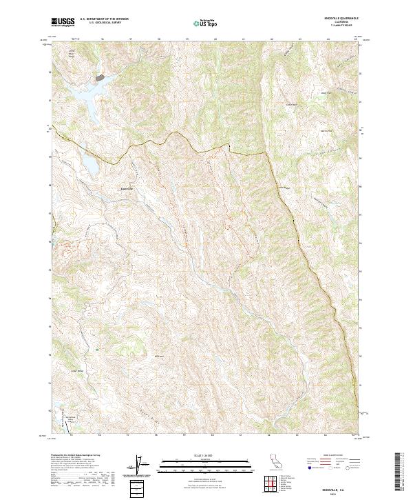
1958 Knoxville
Napa County, CA
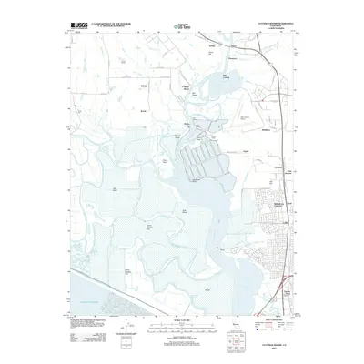
1959 Lake Berryessa
Napa County, CA
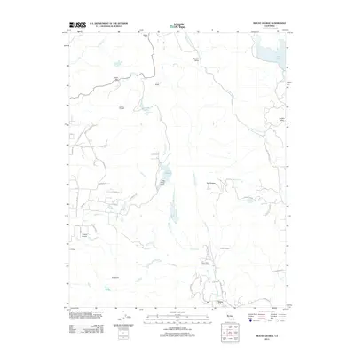
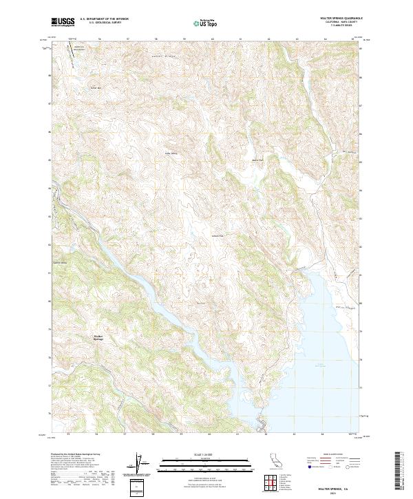
1959 Walter Springs
Napa County, CA
1998 Aetna Springs
Napa County, CA
1998 Lake Berryessa
Napa County, CA
2012 Aetna Springs
Napa County, CA
2012 Capell Valley
Napa County, CA
2012 Chiles Valley
Napa County, CA
2012 Cuttings Wharf
Napa County, CA
2012 Knoxville
Napa County, CA
2012 Lake Berryessa
Napa County, CA
2012 Mount George
Napa County, CA
2012 Saint Helena
Napa County, CA
2012 Walter Springs
Napa County, CA
2015 Aetna Springs
Napa County, CA
2015 Capell Valley
Napa County, CA
2015 Chiles Valley
Napa County, CA
2015 Cuttings Wharf
Napa County, CA
2015 Knoxville
Napa County, CA
2015 Lake Berryessa
Napa County, CA
2015 Mount George
Napa County, CA
2015 Saint Helena
Napa County, CA
2015 Walter Springs
Napa County, CA
2018 Aetna Springs
Napa County, CA
2018 Capell Valley
Napa County, CA
2018 Chiles Valley
Napa County, CA
2018 Cuttings Wharf
Napa County, CA
2018 Knoxville
Napa County, CA
2018 Lake Berryessa
Napa County, CA
2018 Mount George
Napa County, CA
2018 Saint Helena
Napa County, CA
2018 Walter Springs
Napa County, CA
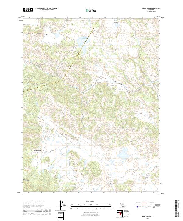
2021 Aetna Springs
Napa County, CA
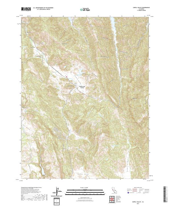
2021 Capell Valley
Napa County, CA
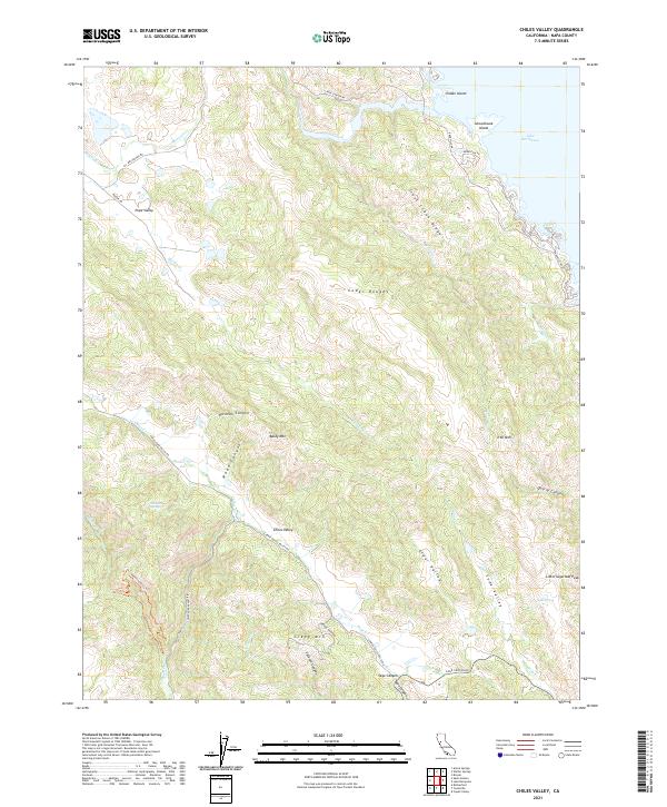
2021 Chiles Valley
Napa County, CA
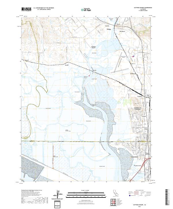
2021 Cuttings Wharf
Napa County, CA
2021 Knoxville
Napa County, CA
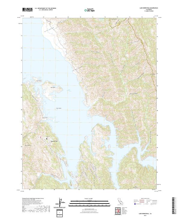
2021 Lake Berryessa
Napa County, CA
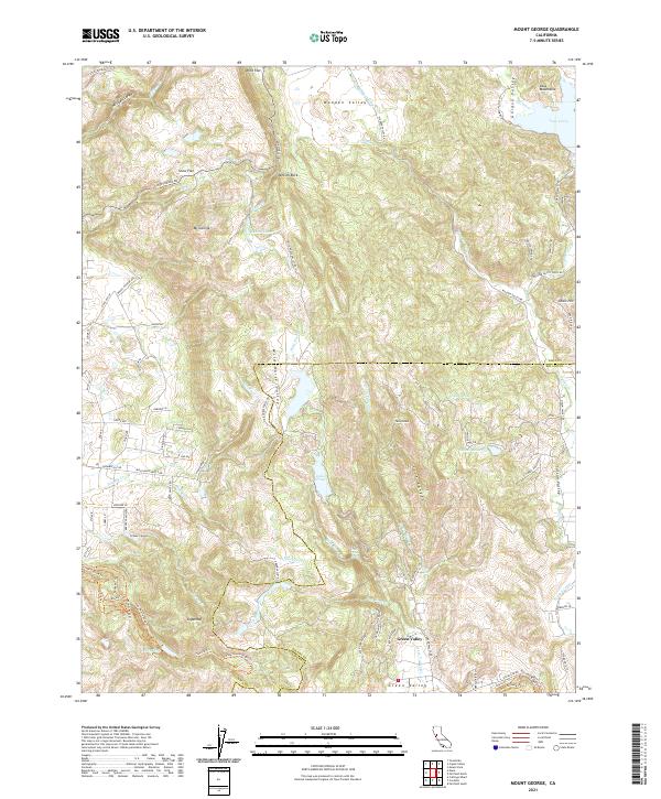
2021 Mount George
Napa County, CA
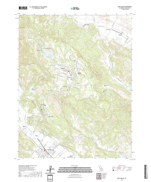
2021 Saint Helena
Napa County, CA
2021 Walter Springs
Napa County, CA