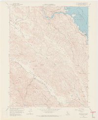
1958 Map of Chiles Valley
USGS Topo · Published 1968About this map
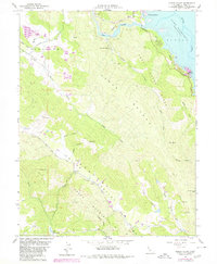
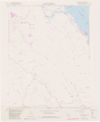
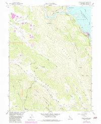
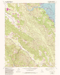
Chiles Valley and the surrounding Napa County terrain are defined by the convergence of the Cedar Roughs and Greeg Mountain. This 1958 survey records the early development of Lake Berryessa in the east, where the newly flooded reservoir reaches toward Rancho Monticello and Putah Creek Park. Local history is anchored by landmarks like the Chiles Grist Mill along Chiles Creek and the resort at Samuel Springs nestled near Trout Creek.
Find a feature on this map
41 named features on this map. Tap any name to fly to it.
Don’t see what you’re looking for? This feature index may not catch every label — zoom into the map to look around manually.
Map Details
Editions of this 1958 Chiles Valley Map
8 editions found
Other maps of this area

1902 · Napa
USGS Topo · 1:125,000

1921 · Mt. Vaca
USGS Topo · 1:62,500

1924 · Capay
USGS Topo · 1:62,500

1942 · Sonoma
USGS Topo · 1:62,500

1942 · Mt. Vaca
USGS Topo · 1:62,500

1942 · St. Helena
USGS Topo · 1:62,500

1943 · Capay
USGS Topo · 1:62,500

1945 · Capay
USGS Topo · 1:62,500

1945 · St. Helena
USGS Topo · 1:62,500

1947 · Santa Rosa
USGS Topo · 1:250,000