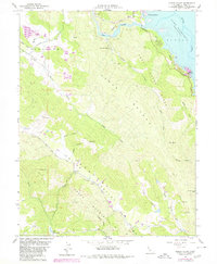
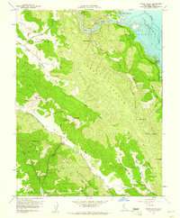
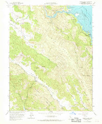
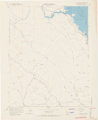
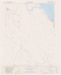
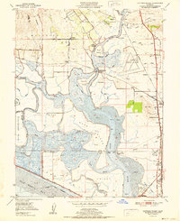
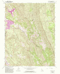
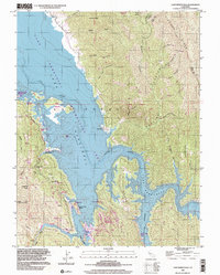
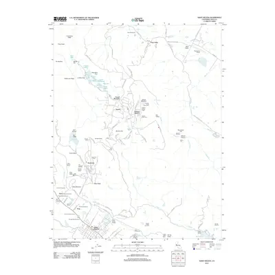
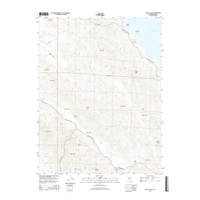
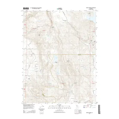
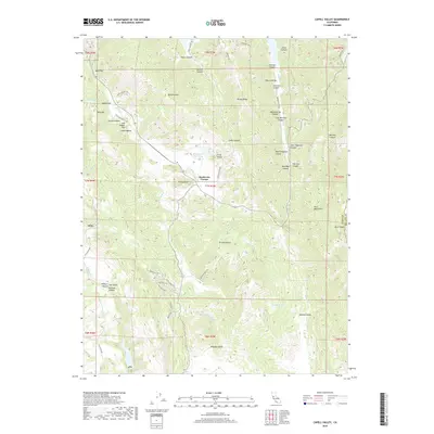
1958 Map of Chiles Valley
USGS Topo · Published 1980About this map
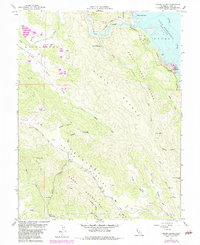
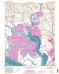
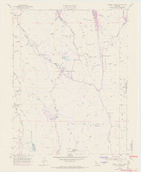
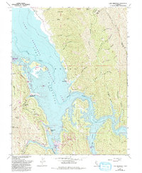
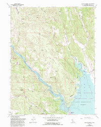
The Chiles Grist Mill stands as a focal point of early industrial heritage in the heart of the Catacuula Valley. This 1958 survey, updated with 1978 data, captures the rugged interior of Napa County before intensive modern development, dominated by the uplift of Greeg Mountain and the steep terrain of the Cedar Roughs. To the east, the rising waters of Lake Berryessa have transformed the landscape near Rancho Monticello, while the Pope Canyon Recreation Area marks the northern boundary of this upland territory. The map illustrates a network of springs and canyons, including Samuel Springs and Soda Spr, which once served as vital water sources for local ranching and early tourism. This document provides a clear view of the transition between the valley floors of Pope Valley and the formidable ridges that separate these inland basins from the Putah Creek drainage.
Find a feature on this map
56 named features on this map. Tap any name to fly to it.
Don’t see what you’re looking for? This feature index may not catch every label — zoom into the map to look around manually.
Map Details
Editions of this 1958 Chiles Valley Map
8 editions found

Historical Maps of Napa County Through Time
47 maps found
1949 Cuttings Wharf
Napa County, CA
1951 Capell Valley
Napa County, CA
1951 Cuttings Wharf
Napa County, CA
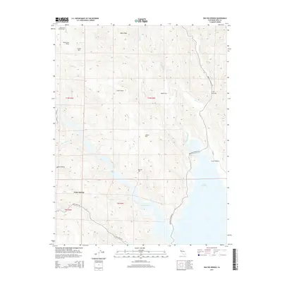
1951 Mt. George
Napa County, CA
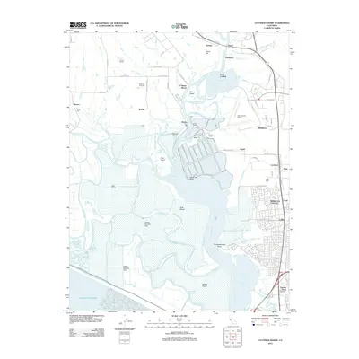
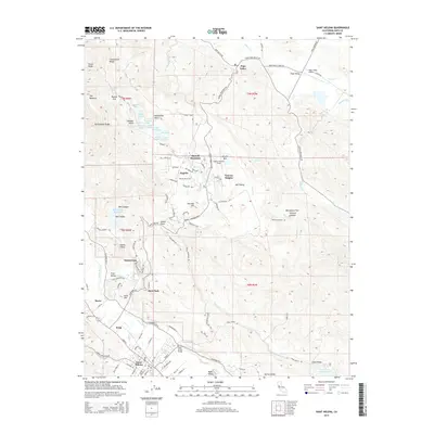
1958 Aetna Springs
Napa County, CA
1958 Chiles Valley
Napa County, CA
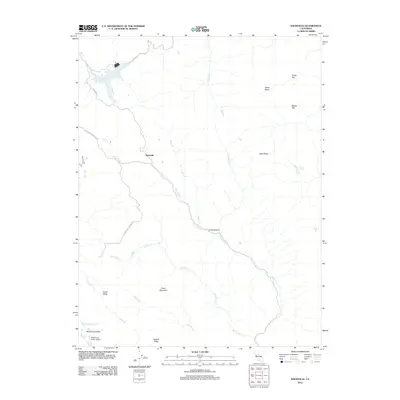
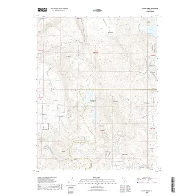
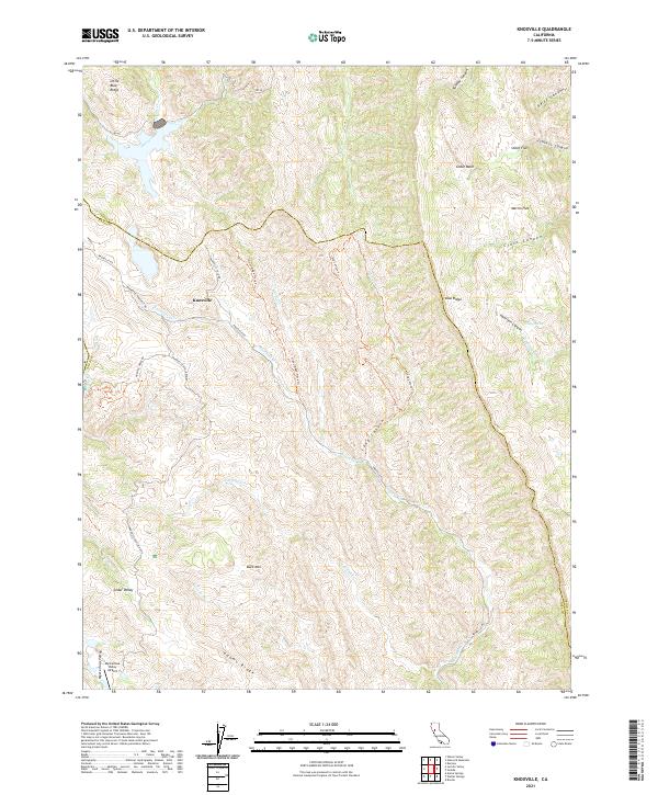
1958 Knoxville
Napa County, CA
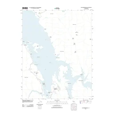
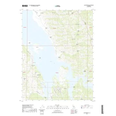
1959 Lake Berryessa
Napa County, CA
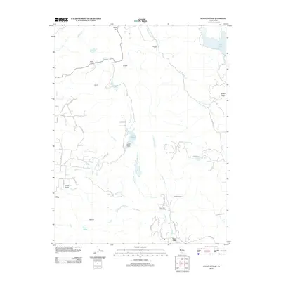
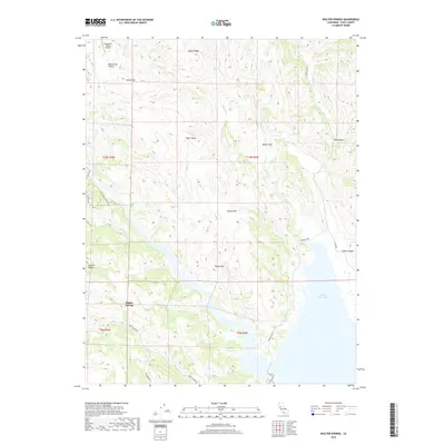
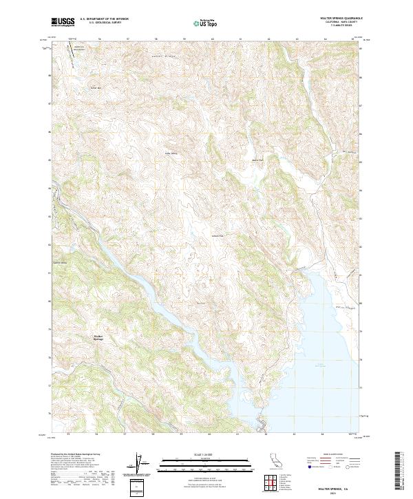
1959 Walter Springs
Napa County, CA
1998 Aetna Springs
Napa County, CA
1998 Lake Berryessa
Napa County, CA
2012 Aetna Springs
Napa County, CA
2012 Capell Valley
Napa County, CA
2012 Chiles Valley
Napa County, CA
2012 Cuttings Wharf
Napa County, CA
2012 Knoxville
Napa County, CA
2012 Lake Berryessa
Napa County, CA
2012 Mount George
Napa County, CA
2012 Saint Helena
Napa County, CA
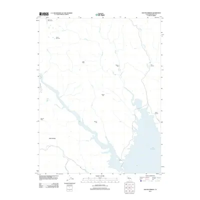
2012 Walter Springs
Napa County, CA
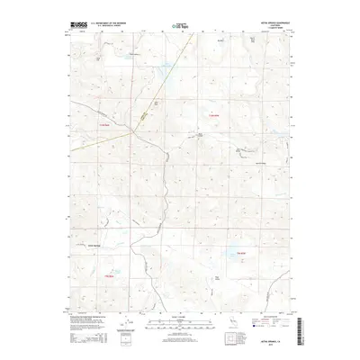
2015 Aetna Springs
Napa County, CA
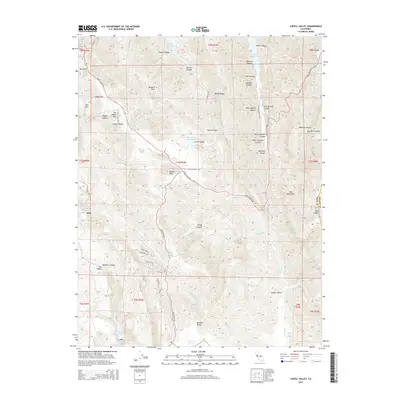
2015 Capell Valley
Napa County, CA
2015 Chiles Valley
Napa County, CA
2015 Cuttings Wharf
Napa County, CA
2015 Knoxville
Napa County, CA
2015 Lake Berryessa
Napa County, CA
2015 Mount George
Napa County, CA
2015 Saint Helena
Napa County, CA
2015 Walter Springs
Napa County, CA
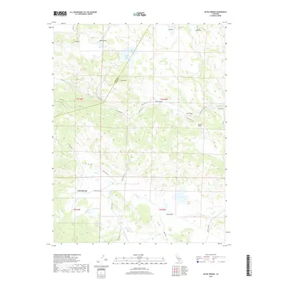
2018 Aetna Springs
Napa County, CA
2018 Capell Valley
Napa County, CA
2018 Chiles Valley
Napa County, CA
2018 Cuttings Wharf
Napa County, CA
2018 Knoxville
Napa County, CA
2018 Lake Berryessa
Napa County, CA
2018 Mount George
Napa County, CA
2018 Saint Helena
Napa County, CA
2018 Walter Springs
Napa County, CA
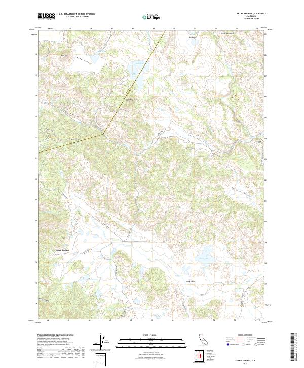
2021 Aetna Springs
Napa County, CA
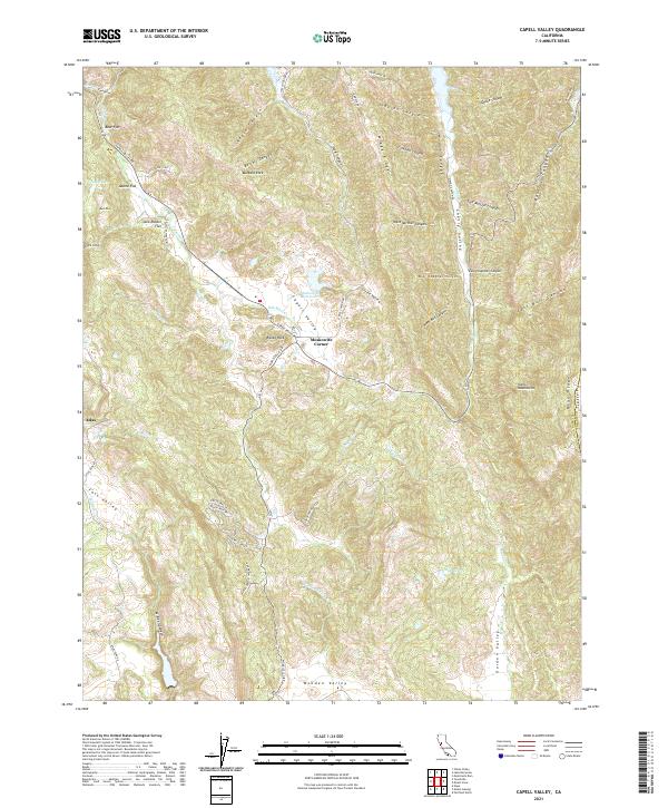
2021 Capell Valley
Napa County, CA
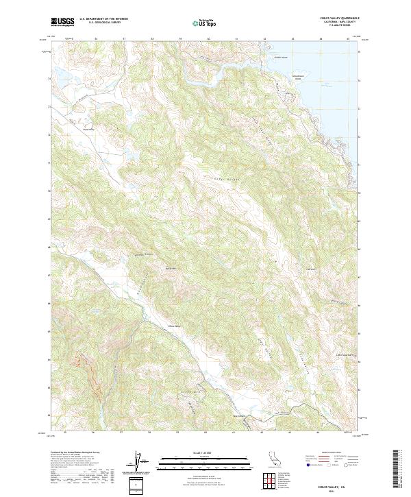
2021 Chiles Valley
Napa County, CA
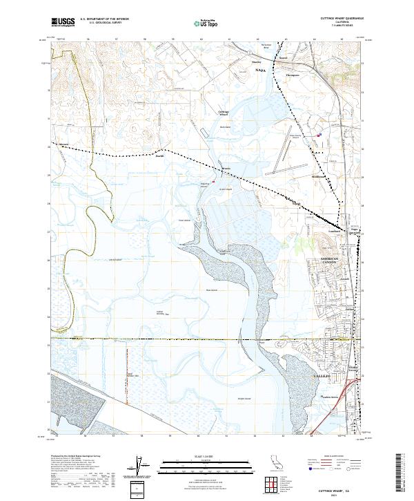
2021 Cuttings Wharf
Napa County, CA
2021 Knoxville
Napa County, CA
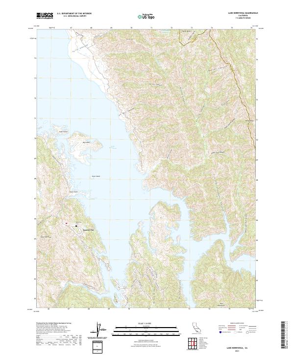
2021 Lake Berryessa
Napa County, CA
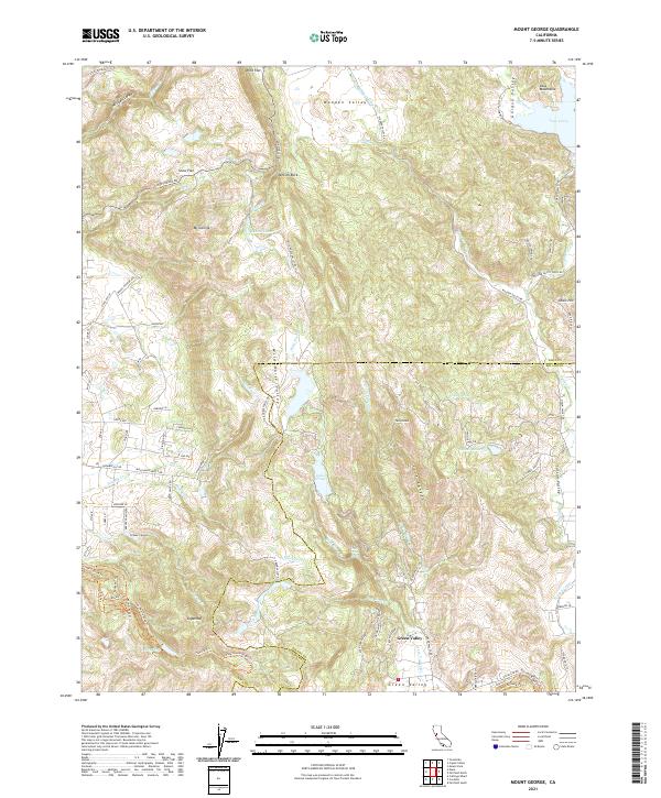
2021 Mount George
Napa County, CA
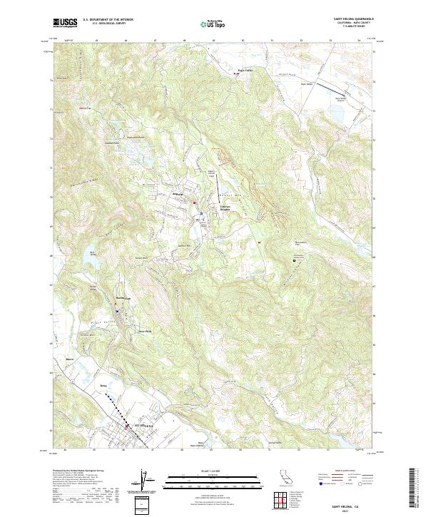
2021 Saint Helena
Napa County, CA
2021 Walter Springs
Napa County, CA