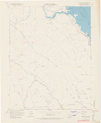
1958 Map of Chiles Valley
USGS Topo · Published 1968About this map
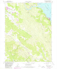
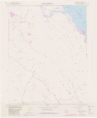
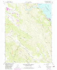
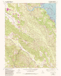
Lake Berryessa dominates the northeastern corner of this Napa County landscape, showing the reservoir and its underwater contours as surveyed during the late 1950s. The map documents the rural character of the region just as the newly created lake was altering the local geography, particularly around Rancho Monticello and Putah Creek Park. To the west, the topography transitions into the steep terrain of Cedar Roughs and Trout Creek Ridge, separating the Berryessa basin from the agricultural pockets of Pope Valley and Chiles Valley.
Find a feature on this map
47 named features on this map. Tap any name to fly to it.
Don’t see what you’re looking for? This feature index may not catch every label — zoom into the map to look around manually.
Map Details
Editions of this 1958 Chiles Valley Map
8 editions found
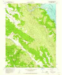
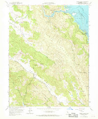
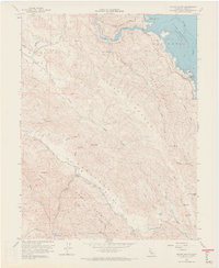
Other maps of this area

1902 · Napa
USGS Topo · 1:125,000

1921 · Mt. Vaca
USGS Topo · 1:62,500

1924 · Capay
USGS Topo · 1:62,500

1942 · Sonoma
USGS Topo · 1:62,500

1942 · Mt. Vaca
USGS Topo · 1:62,500

1942 · St. Helena
USGS Topo · 1:62,500

1943 · Capay
USGS Topo · 1:62,500

1945 · Capay
USGS Topo · 1:62,500

1945 · St. Helena
USGS Topo · 1:62,500

1947 · Santa Rosa
USGS Topo · 1:250,000