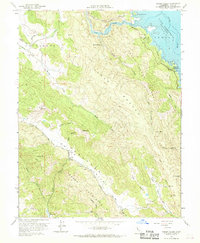
1958 Map of Chiles Valley
USGS Topo · Published 1968About this map
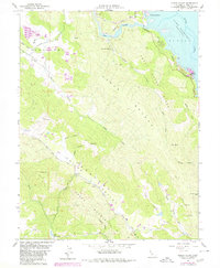
Chiles Valley and the surrounding Napa highlands are captured here during a period of significant hydrological change. The eastern edge of the map is dominated by the newly formed Lake Berryessa, with the Las Putas Boundary and the settlement of Rancho Monticello marking the interface between the rising waters and the historic land grants. This survey includes underwater contours provided by the Bureau of Reclamation, documenting the inundated landscape of the Putah Creek drainage.
Find a feature on this map
40 named features on this map. Tap any name to fly to it.
Don’t see what you’re looking for? This feature index may not catch every label — zoom into the map to look around manually.
Map Details
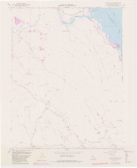
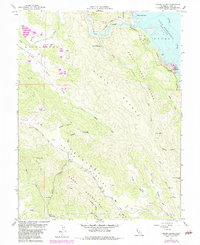
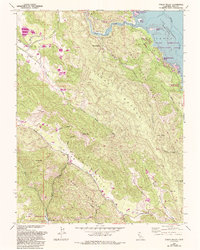
Editions of this 1958 Chiles Valley Map
8 editions found
Other maps of this area

1902 · Napa
USGS Topo · 1:125,000

1921 · Mt. Vaca
USGS Topo · 1:62,500

1924 · Capay
USGS Topo · 1:62,500

1942 · Sonoma
USGS Topo · 1:62,500

1942 · Mt. Vaca
USGS Topo · 1:62,500

1942 · St. Helena
USGS Topo · 1:62,500

1943 · Capay
USGS Topo · 1:62,500

1945 · Capay
USGS Topo · 1:62,500

1945 · St. Helena
USGS Topo · 1:62,500

1947 · Santa Rosa
USGS Topo · 1:250,000