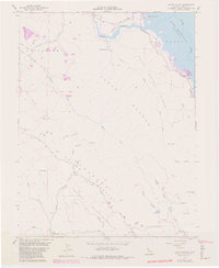
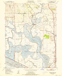
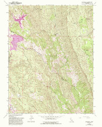
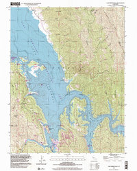
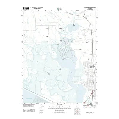
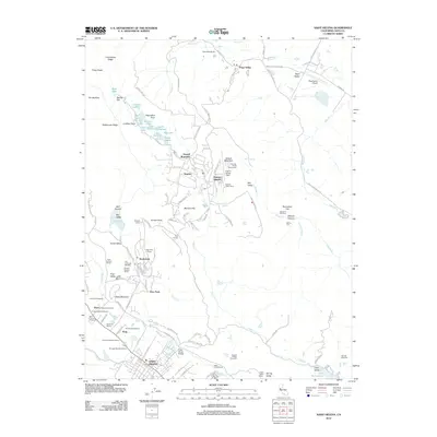
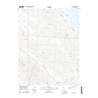
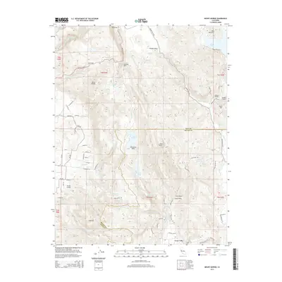
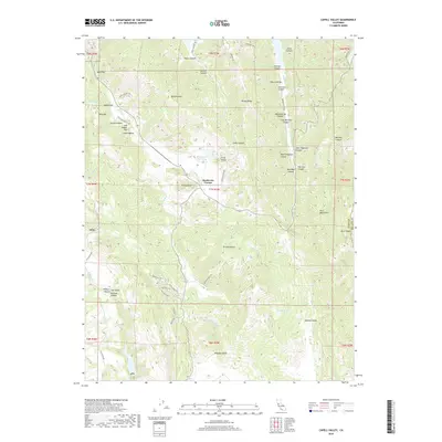
1958 Map of Chiles Valley
USGS Topo · Published 1980About this map
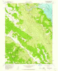
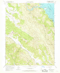
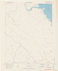
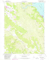
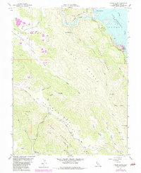
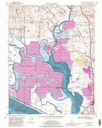
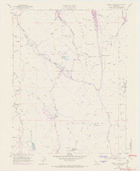
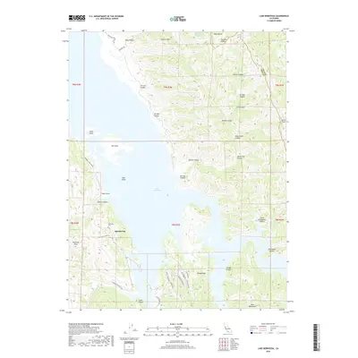
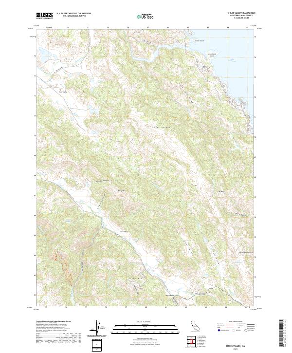
Samuel Springs and the historic Chiles Grist Mill anchor this mid-century survey of the interior canyons and valleys of Napa County. The landscape is defined by the sharp transition between the deep waters of Lake Berryessa in the northeast and the agricultural corridor of Chiles Valley to the southwest. This 1958 edition includes photorevisions from the late 1970s, highlighting the development of the Putah Creek Park recreation area and the established Trailer Park near Rancho Monticello along the lake's western shore. Rugged terrain such as the Cedar Roughs and Greeg Mountain separate these water bodies, while a network of rural routes like Hardin Road and the Chiles and Pope Valley Road connect the scattered springs and mountain peaks, including Baldy Mtn and Iron Mtn.
Find a feature on this map
55 named features on this map. Tap any name to fly to it.
Don’t see what you’re looking for? This feature index may not catch every label — zoom into the map to look around manually.
Map Details
Editions of this 1958 Chiles Valley Map
8 editions found

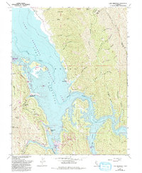
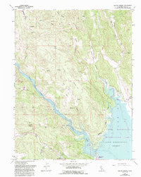
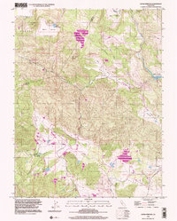
Historical Maps of Napa County Through Time
47 maps found
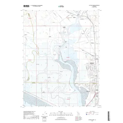
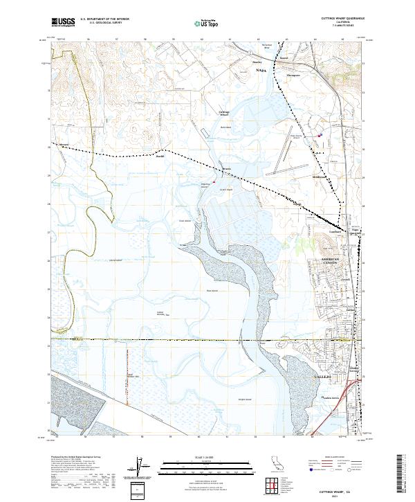
1949 Cuttings Wharf
Napa County, CA
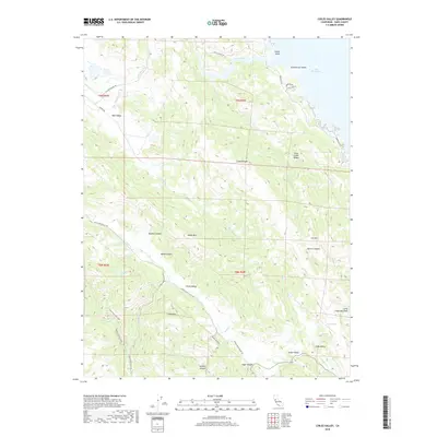
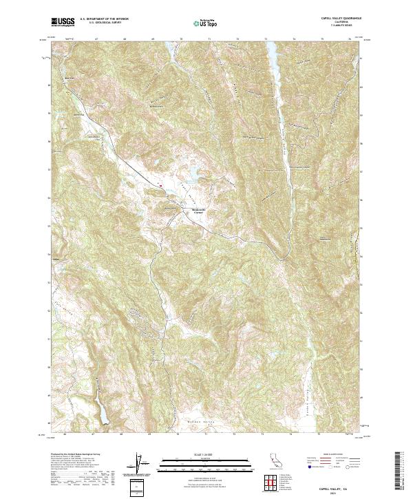
1951 Capell Valley
Napa County, CA
1951 Cuttings Wharf
Napa County, CA
1951 Mt. George
Napa County, CA
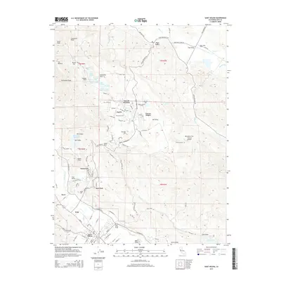
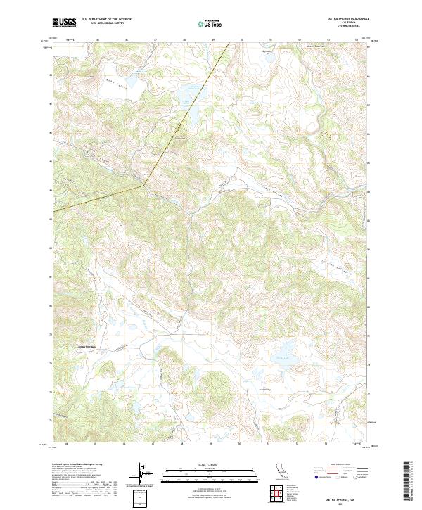
1958 Aetna Springs
Napa County, CA
1958 Chiles Valley
Napa County, CA
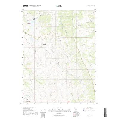
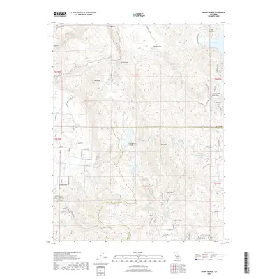
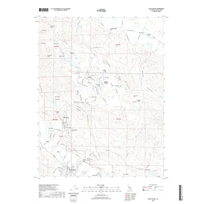
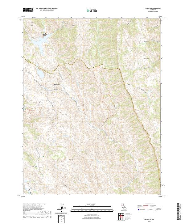
1958 Knoxville
Napa County, CA
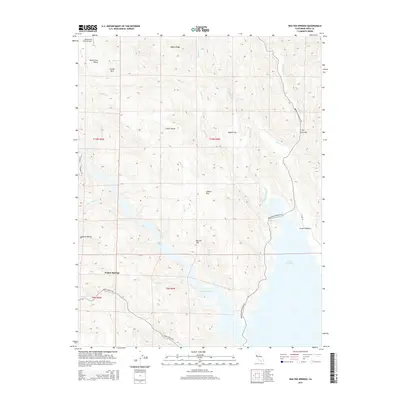
1959 Lake Berryessa
Napa County, CA
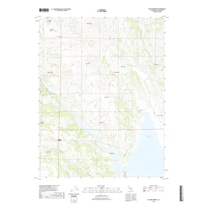
1959 Walter Springs
Napa County, CA
1998 Aetna Springs
Napa County, CA
1998 Lake Berryessa
Napa County, CA
2012 Aetna Springs
Napa County, CA
2012 Capell Valley
Napa County, CA
2012 Chiles Valley
Napa County, CA
2012 Cuttings Wharf
Napa County, CA
2012 Knoxville
Napa County, CA
2012 Lake Berryessa
Napa County, CA
2012 Mount George
Napa County, CA
2012 Saint Helena
Napa County, CA
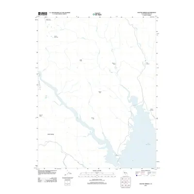
2012 Walter Springs
Napa County, CA
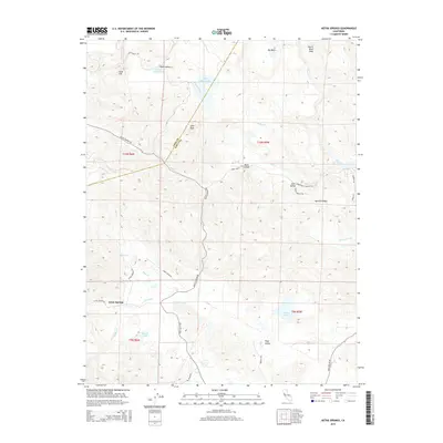
2015 Aetna Springs
Napa County, CA
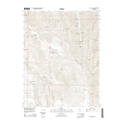
2015 Capell Valley
Napa County, CA
2015 Chiles Valley
Napa County, CA
2015 Cuttings Wharf
Napa County, CA
2015 Knoxville
Napa County, CA
2015 Lake Berryessa
Napa County, CA
2015 Mount George
Napa County, CA
2015 Saint Helena
Napa County, CA
2015 Walter Springs
Napa County, CA
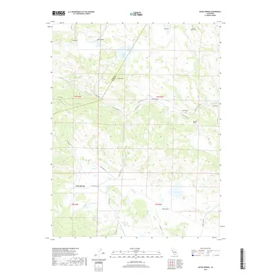
2018 Aetna Springs
Napa County, CA
2018 Capell Valley
Napa County, CA
2018 Chiles Valley
Napa County, CA
2018 Cuttings Wharf
Napa County, CA
2018 Knoxville
Napa County, CA
2018 Lake Berryessa
Napa County, CA
2018 Mount George
Napa County, CA
2018 Saint Helena
Napa County, CA
2018 Walter Springs
Napa County, CA
2021 Aetna Springs
Napa County, CA
2021 Capell Valley
Napa County, CA
2021 Chiles Valley
Napa County, CA
2021 Cuttings Wharf
Napa County, CA
2021 Knoxville
Napa County, CA
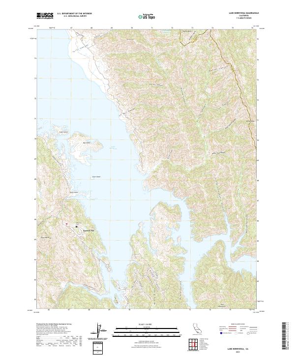
2021 Lake Berryessa
Napa County, CA
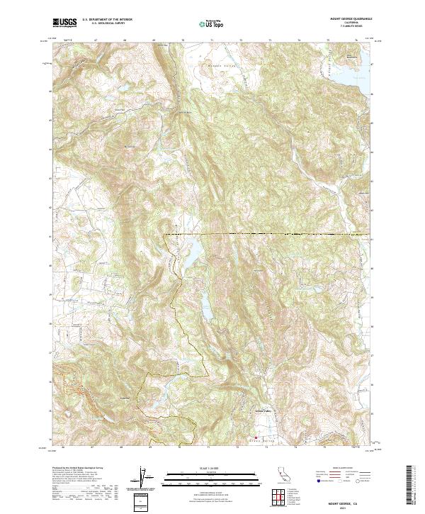
2021 Mount George
Napa County, CA
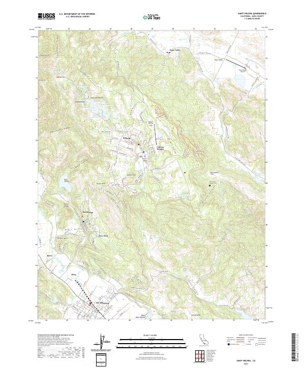
2021 Saint Helena
Napa County, CA
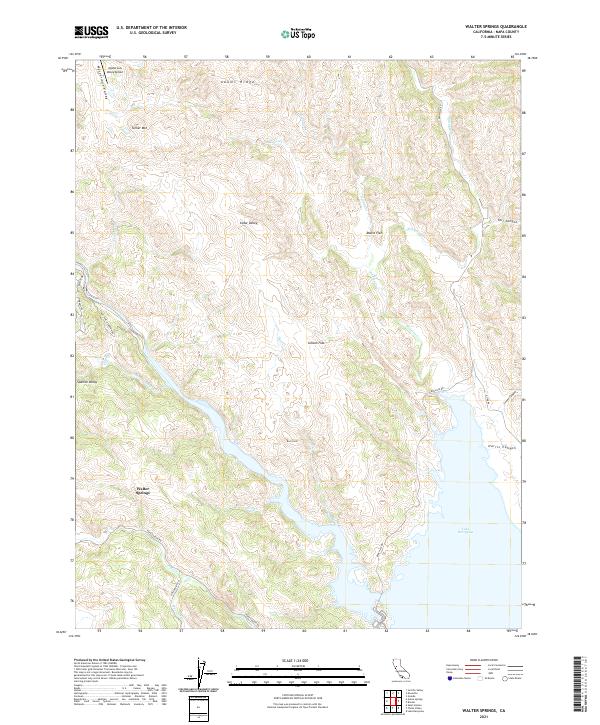
2021 Walter Springs
Napa County, CA