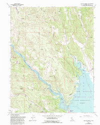
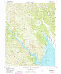
1959 Map of Walter Springs
USGS Topo · Published 1993About this map
Walter Springs and the surrounding highlands of northern Napa County are documented here during the late 1950s, shortly after the completion of the Monticello Dam transformed the landscape. The western arm of Lake Berryessa dominates the southeastern quadrant, where recreation and infrastructure such as the Putah Creek Resort and Camp Berryessa are situated. Further north, the map records the older rural school site of Monticello Sch near the edge of the newly established reservoir.
Find a feature on this map
33 named features on this map. Tap any name to fly to it.
Don’t see what you’re looking for? This feature index may not catch every label — zoom into the map to look around manually.
Map Details
Editions of this 1959 Walter Springs Map
5 editions found
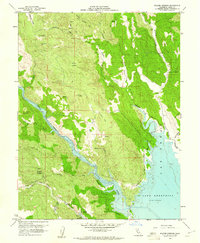
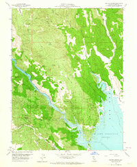
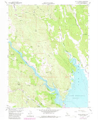
Other maps of this area

1924 · Capay
USGS Topo · 1:62,500

1942 · St. Helena
USGS Topo · 1:62,500

1943 · Morgan Valley
USGS Topo · 1:62,500

1943 · Capay
USGS Topo · 1:62,500

1944 · Morgan Valley
USGS Topo · 1:62,500

1945 · Capay
USGS Topo · 1:62,500

1945 · Rumsey
USGS Topo · 1:62,500

1945 · St. Helena
USGS Topo · 1:62,500

1947 · Santa Rosa
USGS Topo · 1:250,000

1949 · Santa Rosa
USGS Topo · 1:250,000