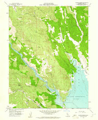
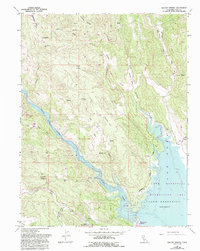
1959 Map of Walter Springs
USGS Topo · Published 1961About this map
Lake Berryessa dominates the eastern landscape of this Napa County survey, showing the reservoir at a Spillway Elevation 440 following the recent completion of Monticello Dam. The map captures a moment of transition where the rising waters of Putas Creek and Putah Creek meet the surrounding hills. To the west, the settlement of Walter Springs serves as a local landmark amidst a rugged geography defined by Mysterious Valley and Adams Ridge.
Find a feature on this map
33 named features on this map. Tap any name to fly to it.
Don’t see what you’re looking for? This feature index may not catch every label — zoom into the map to look around manually.
Map Details
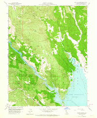
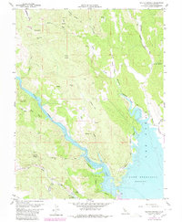
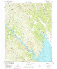
Editions of this 1959 Walter Springs Map
5 editions found
Other maps of this area

1924 · Capay
USGS Topo · 1:62,500

1942 · St. Helena
USGS Topo · 1:62,500

1943 · Morgan Valley
USGS Topo · 1:62,500

1943 · Capay
USGS Topo · 1:62,500

1944 · Morgan Valley
USGS Topo · 1:62,500

1945 · Capay
USGS Topo · 1:62,500

1945 · Rumsey
USGS Topo · 1:62,500

1945 · St. Helena
USGS Topo · 1:62,500

1947 · Santa Rosa
USGS Topo · 1:250,000

1949 · Santa Rosa
USGS Topo · 1:250,000