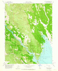
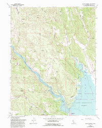
1959 Map of Walter Springs
USGS Topo · Published 1964About this map
Walter Springs sits at the heart of this Napa County landscape, marking a period of significant hydrological transition for the region. The map captures the early years of Lake Berryessa, with the U.S. Bureau of Reclamation contributing underwater contours that reveal the submerged topography of the valley floor. This artificial reservoir, formed by the damming of Putah Creek, reshaped the local geography, turning formerly terrestrial features like Barton Hill into prominent landmarks along the new shoreline.
Find a feature on this map
37 named features on this map. Tap any name to fly to it.
Don’t see what you’re looking for? This feature index may not catch every label — zoom into the map to look around manually.
Map Details
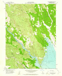
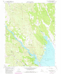
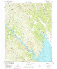
Editions of this 1959 Walter Springs Map
5 editions found
Other maps of this area

1924 · Capay
USGS Topo · 1:62,500

1942 · St. Helena
USGS Topo · 1:62,500

1943 · Morgan Valley
USGS Topo · 1:62,500

1943 · Capay
USGS Topo · 1:62,500

1944 · Morgan Valley
USGS Topo · 1:62,500

1945 · Capay
USGS Topo · 1:62,500

1945 · Rumsey
USGS Topo · 1:62,500

1945 · St. Helena
USGS Topo · 1:62,500

1947 · Santa Rosa
USGS Topo · 1:250,000

1949 · Santa Rosa
USGS Topo · 1:250,000