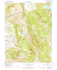
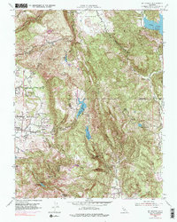
1951 Map of Mt. George
USGS Topo · Published 1978About this map
Napa State Hospital and the rural eastern outskirts of Napa define this 1951 landscape, where the agricultural flats of the valley floor meet the rising peaks of the Vaca Mountains. This mid-century survey captures a transitional period of land use, balancing established institutional sites like the Mt George Union Sch with recreational developments such as the Napa Valley Country Club. The topography is dominated by the ridges surrounding Mt George, dropping into steep drainages like Milliken Canyon.
Find a feature on this map
44 named features on this map. Tap any name to fly to it.
Don’t see what you’re looking for? This feature index may not catch every label — zoom into the map to look around manually.
Map Details
Editions of this 1951 Mt. George Map
5 editions found
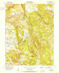
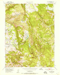
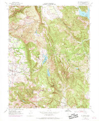
Other maps of this area

1896 · Carquinez Strait
USGS Topo · 1:62,500

1898 · Karquines
USGS Topo · 1:62,500

1901 · Karquines
USGS Topo · 1:62,500

1902 · Napa
USGS Topo · 1:125,000

1916 · Mare Island
USGS Topo · 1:62,500

1921 · Mt. Vaca
USGS Topo · 1:62,500

1940 · Carquinez Strait
USGS Topo · 1:62,500

1942 · Mare Island
USGS Topo · 1:62,500

1942 · Carquinez
USGS Topo · 1:62,500

1942 · Sonoma
USGS Topo · 1:62,500