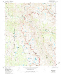
1983 Map of Mt. Henry
USGS Topo · Published 1983About this map
High Sierra wilderness topography is meticulously documented in this 1983 study, centered on the meeting of the Sierra National Forest, John Muir Wilderness, and Kings Canyon National Park. The landscape is dominated by the South Fork San Joaquin River and its major tributaries, including Evolution Creek which flows through the notable Evolution Valley. For researchers and historians of alpine recreation, the map shows the iconic Pacific Crest National Scenic Trail and the John Muir Trail as they traverse the Glacier Divide. A rare architectural landmark, the John Muir Trail Cabin, is located near the river's fork, while more ephemeral features like Shooting Star Meadow and a marked Campsite indicate the area's use by backpackers. The terrain varies from the depths of Reddys Hole to the heights of Mt Henry and Emerald Peak, tracing a network of high-altitude basins like the lake-studded Red Mountain Basin.
Find a feature on this map
62 named features on this map. Tap any name to fly to it.
Don’t see what you’re looking for? This feature index may not catch every label — zoom into the map to look around manually.
Map Details
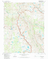
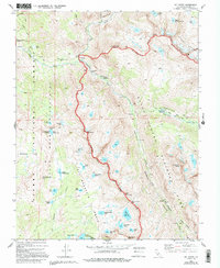
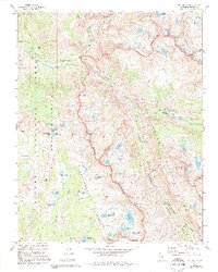
Editions of this 1983 Mt. Henry Map
4 editions found
Other maps of this area

1912 · Mt. Goddard
USGS Topo · 1:125,000

1947 · Mariposa
USGS Topo · 1:250,000

1948 · Mariposa
USGS Topo · 1:250,000

1948 · Mt. Goddard
USGS Topo · 1:62,500

1949 · Mt. Tom
USGS Topo · 1:62,500

1951 · Mt. Tom
USGS Topo · 1:62,500

1951 · Mt. Goddard
USGS Topo · 1:62,500

1952 · Mt. Goddard
USGS Topo · 1:62,500

1953 · Mt Abbot
USGS Topo · 1:62,500

1953 · Blackcap Mtn
USGS Topo · 1:62,500