
1956 Map of Mt. Kearsarge
USGS Topo · Published 1959About this map
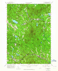
Mt Kearsarge anchors this landscape of central New Hampshire, where the peaks of the Sunapee and Merrimack highlands give way to a network of established villages and mountain lakes. The mid-century corridor of the Boston & Maine RR is clearly visible, threading through the Blackwater River valley and connecting points like Potter Place, Cilleyville, and West Andover. The map captures several distinctive educational and recreational landmarks of the era, including the campus of Colby Jr College in New London and numerous protected areas like Wadleigh State Park and Shadow Hill State Forest. Of particular note for local historians is the South Danbury and East Andover stations, which highlight the intersection of rail infrastructure and rural settlement patterns before the interstate era.
Find a feature on this map
167 named features on this map. Tap any name to fly to it.
Don’t see what you’re looking for? This feature index may not catch every label — zoom into the map to look around manually.
Map Details
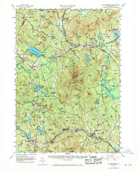
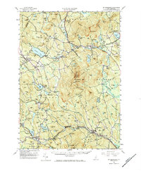
Editions of this 1956 Mt. Kearsarge Map
4 editions found
Other maps of this area

1902 · Sunapee
USGS Topo · 1:62,500

1905 · Sunapee
USGS Topo · 1:62,500

1907 · Sunapee
USGS Topo · 1:62,500

1925 · Holderness
USGS Topo · 1:62,500

1926 · Hillsboro
USGS Topo · 1:62,500

1927 · Concord
USGS Topo · 1:62,500

1927 · Penacook
USGS Topo · 1:62,500

1927 · Holderness
USGS Topo · 1:62,500

1927 · Cardigan
USGS Topo · 1:62,500

1927 · Mascoma
USGS Topo · 1:62,500