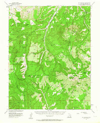
1954 Map of Mt Linnaeus
USGS Topo · Published 1964About this map
The Manti-La Sal National Forest dominates this mid-century landscape in San Juan County, revealing a terrain marked by deep canyons and ancient cultural sites. Evidence of early habitation is preserved through labels for Ruins, Cliff Dwellings, and Petroglyphs near Kelly Ranch, signaling the archaeological significance of the region before it was fully modernized. The survey, produced in cooperation with the Atomic Energy Commission, highlights the post-war interest in this isolated corner of Utah.
Find a feature on this map
54 named features on this map. Tap any name to fly to it.
Don’t see what you’re looking for? This feature index may not catch every label — zoom into the map to look around manually.
Map Details
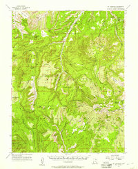
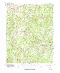
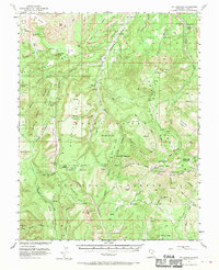
Editions of this 1954 Mt Linnaeus Map
4 editions found
Other maps of this area

1885 · La Sal
USGS Topo · 1:250,000

1886 · Abajo
USGS Topo · 1:250,000

1892 · Abajo
USGS Topo · 1:250,000

1893 · Abajo
USGS Topo · 1:250,000

1935 · Elk Ridge
USGS Topo · 1:96,000

1940 · Elk Ridge
USGS Topo · 1:125,000

1953 · The Needles
USGS Topo · 1:62,500

1954 · Elk Ridge 4 NW
USGS Topo · 1:24,000

1954 · Elk Ridge 1 SW
USGS Topo · 1:24,000

1954 · Elk Ridge 2 SE
USGS Topo · 1:24,000