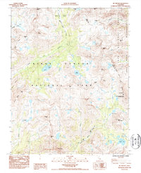
1985 Map of Mt. Pinchot
USGS Topo · Published 1985About this map
Kings Canyon National Park and the Inyo National Forest meet at the crest of the Sierra Nevada on this 1985 survey, where the boundary between Fresno and Inyo counties follows the high ridgelines. The landscape is defined by the convergence of major alpine routes, specifically the John Muir Trail and the Pacific Crest National Scenic Trail, which share a path through this high-elevation terrain. Notable landmarks like Mt Pinchot and Pinchot Pass dominate the central portion of the map, while the California Bighorn Sheep Zoological Area on the eastern slopes of the crest indicates specific land-use management for wildlife protection.
Find a feature on this map
41 named features on this map. Tap any name to fly to it.
Don’t see what you’re looking for? This feature index may not catch every label — zoom into the map to look around manually.
Map Details
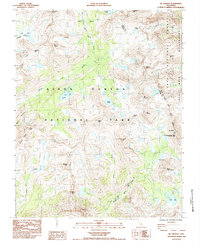
Editions of this 1985 Mt. Pinchot Map
2 editions found
Other maps of this area

1903 · Tehipite
USGS Topo · 1:125,000

1905 · Tehipite
USGS Topo · 1:125,000

1907 · Mt. Whitney
USGS Topo · 1:125,000

1912 · Mt. Goddard
USGS Topo · 1:125,000

1913 · Bishop
USGS Topo · 1:125,000

1919 · Mt. Whitney
USGS Topo · 1:125,000

1937 · Mt. Whitney
USGS Topo · 1:125,000

1947 · Mariposa
USGS Topo · 1:250,000

1948 · Fresno
USGS Topo · 1:250,000

1948 · Mariposa
USGS Topo · 1:250,000