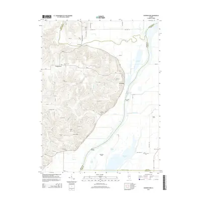
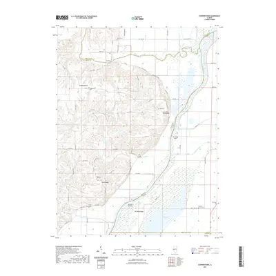
1929 Map of Mt. Sterling
USGS Topo · Published 1929About this map
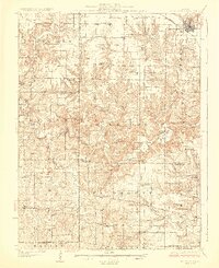
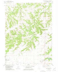
Mt Sterling and Griggsville anchor this 1920s survey of west-central Illinois, where the Wabash Ry cuts through the northern landscape. The terrain is defined by the winding course of McKee Creek and its many tributaries, such as Grindstone Creek and Little Missouri Creek. This era of rural development is marked by a high density of country schools, including uniquely named institutions like Pea Green Sch, Ashland Sch, and Mountain Prairie Sch, illustrating the distribution of localized education before district consolidation.
Find a feature on this map
78 named features on this map. Tap any name to fly to it.
Don’t see what you’re looking for? This feature index may not catch every label — zoom into the map to look around manually.
Map Details
Editions of this 1929 Mt. Sterling Map
2 editions found
Historical Maps of Mount Sterling Through Time
15 maps found
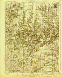
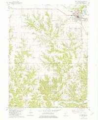
1926 Mt Sterling
Brown County, IL
1929 Mt. Sterling
Brown County, IL
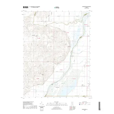
1980 Cooperstown
Brown County, IL
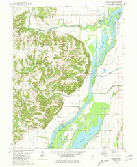
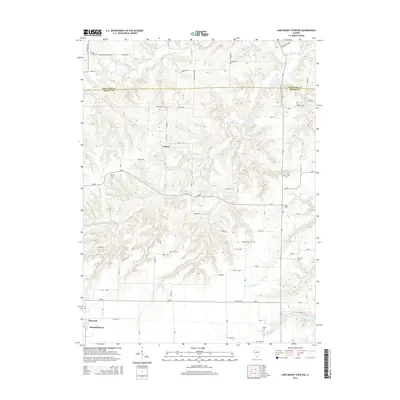
1981 Lake Mt. Sterling
Brown County, IL
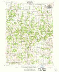
1981 Mt Sterling
Brown County, IL
2012 Cooperstown
Brown County, IL
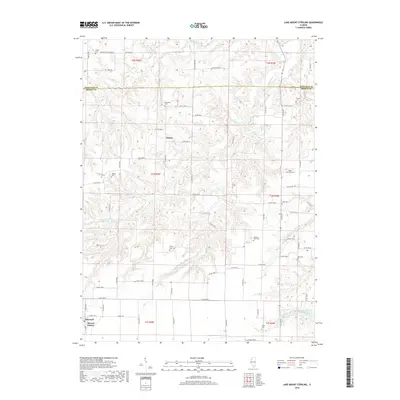
2012 Lake Mount Sterling
Brown County, IL
2015 Cooperstown
Brown County, IL
2015 Lake Mount Sterling
Brown County, IL
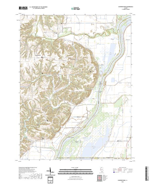
2018 Cooperstown
Brown County, IL
2018 Lake Mount Sterling
Brown County, IL
2021 Cooperstown
Brown County, IL

2021 Lake Mount Sterling
Brown County, IL
2024 Cooperstown
Brown County, IL
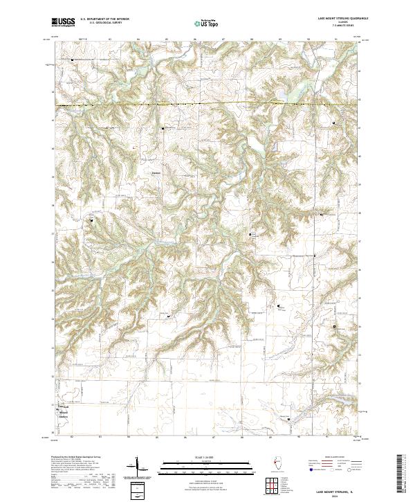
2024 Lake Mount Sterling
Brown County, IL