
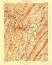
1924 Map of Mt. Union
USGS Topo · Published 1924About this map
The Juniata River and the Penn RR dictate the geography of this 1920s Pennsylvania landscape, cutting through prominent ridges like Jacks Mountain and Blacklog Mountain. The industrial and transport hub at Mount Union serves as a focal point, where the river bends sharply near Newton Hamilton. This era captures a dense network of one-room schoolhouses serving rural families in the isolated valleys, including the Lucy Furnace School and Whitsel School.
Find a feature on this map
110 named features on this map. Tap any name to fly to it.
Don’t see what you’re looking for? This feature index may not catch every label — zoom into the map to look around manually.
Map Details
Editions of this 1924 Mt. Union Map
4 editions found
Other maps of this area

1901 · Huntingdon
USGS Topo · 1:62,500

1904 · Huntingdon
USGS Topo · 1:62,500

1919 · Mattawana
USGS Topo · 1:62,500

1919 · Menno
USGS Topo · 1:62,500

1922 · Mt Union
USGS Topo · 1:48,000

1923 · Shippensburg
USGS Topo · 1:62,500

1923 · Tyrone
USGS Topo · 1:62,500

1924 · Lewistown
USGS Topo · 1:62,500

1927 · Lewisburg
USGS Topo · 1:62,500

1929 · Tyrone
USGS Topo · 1:48,000