
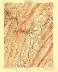
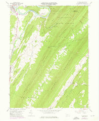
1924 Map of Mt. Union
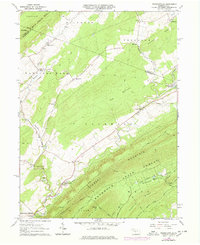
USGS Topo · Published 1924This historical map portrays the area of Mt. Union in 1924, primarily covering Huntingdon as well as portions of Mifflin County and Juniata County. Featuring a scale of 1:62500, this map provides a highly detailed snapshot of the terrain, roads, buildings, counties, and historical landmarks in the Mt. Union region at the time. Published in 1924, it is one of 4 known editions of this map due to revisions or reprints.
Find a feature on this map
110 named features on this map. Tap any name to fly to it.
Don’t see what you’re looking for? This feature index may not catch every label — zoom into the map to look around manually.
Map Details
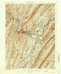
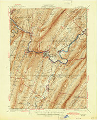
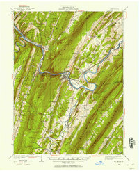
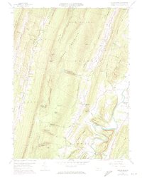
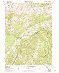
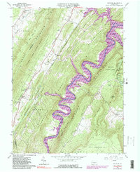
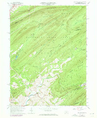
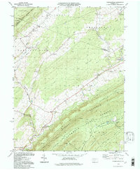
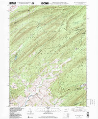
Editions of this 1924 Mt. Union Map
4 editions found
Historical Maps of Smithfield Township Through Time
12 maps found

1919 Menno
Huntingdon County, PA
1922 Mt. Union
Huntingdon County, PA

1944 Mt. Union
Huntingdon County, PA
1959 Aughwick
Huntingdon County, PA
1959 Butler Knob
Huntingdon County, PA
1963 Donation
Huntingdon County, PA
1963 Entriken
Huntingdon County, PA
1963 Franklinville
Huntingdon County, PA
1963 Mc Alevys Fort
Huntingdon County, PA

1977 Mc Alevys Fort
Huntingdon County, PA
1994 Franklinville
Huntingdon County, PA
1998 Mc Alevys Fort
Huntingdon County, PA