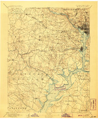
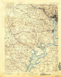
1894 Map of Mt. Vernon
USGS Topo · Published 1907About this map
Alexandria and Washington anchor the northeastern corner of this turn-of-the-century survey, a landscape defined by the winding Maryland Virginia Boundary Line along the Potomac River. The map illustrates a region transitioning from an agrarian past to a strategic military and suburban hub, evidenced by the presence of Arlington National Cemetery, Fort Myer, and Fort Washington. Inland, the terrain is a network of small settlements and stream valleys, where places like Fairfax and Vienna are linked by the Southern R. R. and the Va. Midland Div., highlighting the early importance of rail transit before the dominance of modern highways.
Find a feature on this map
147 named features on this map. Tap any name to fly to it.
Don’t see what you’re looking for? This feature index may not catch every label — zoom into the map to look around manually.
Map Details
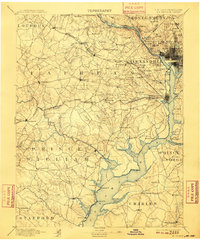
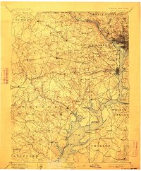
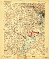
Editions of this 1894 Mt. Vernon Map
6 editions found

Other maps of this area

1884 · Harpers Ferry
USGS Topo · 1:125,000

1887 · Spottsylvania
USGS Topo · 1:125,000

1889 · Fredericksburg
USGS Topo · 1:125,000

1890 · Mt. Vernon
USGS Topo · 1:125,000

1891 · Harpers Ferry
USGS Topo · 1:125,000

1891 · Mt. Vernon
USGS Topo · 1:125,000

1892 · Laurel
USGS Topo · 1:62,500

1892 · Fredericksburg
USGS Topo · 1:125,000

1892 · Spottsylvania
USGS Topo · 1:125,000

1892 · Brandywine
USGS Topo · 1:62,500