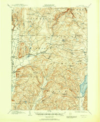
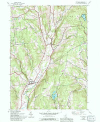
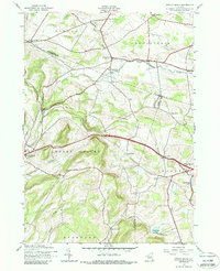
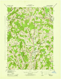
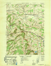
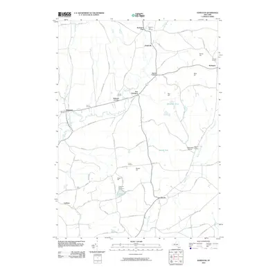
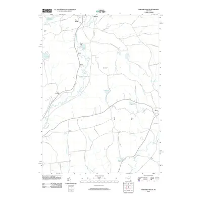
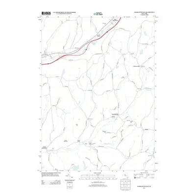
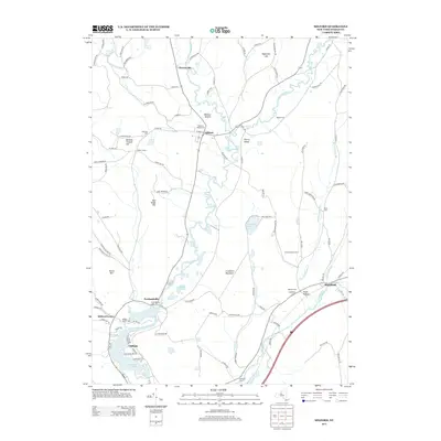
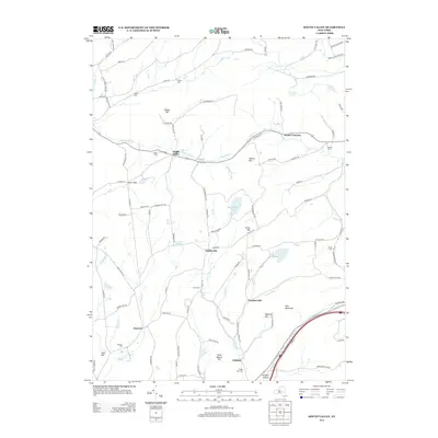
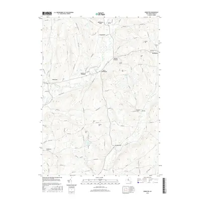
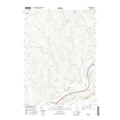
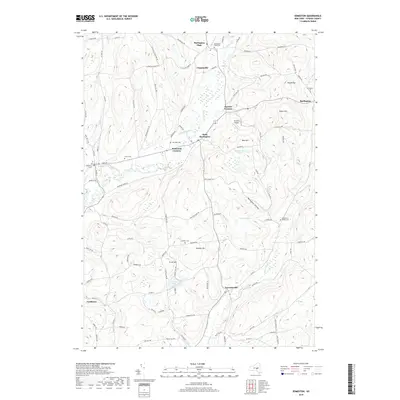
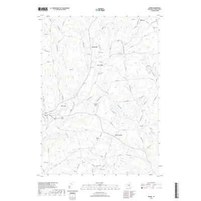
1943 Map of Mt Vision
USGS Topo · Published 1983About this map
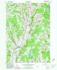
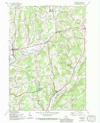
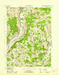
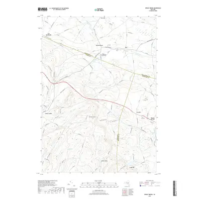
The hills and valleys of central Otsego County are defined here by a network of rural settlements and old transit lines. Mt Vision sits at the center of this landscape, where the Old Grade Railroad follows the path of Otego Creek through the heart of the terrain. The map documents a period of transition, preserving the locations of numerous numbered district schools like School No 3 and School No 8 alongside established village centers like Laurens and South Hartwick. To the south, the Oneonta Municipal Airport and Wilber Lake provide a sharp contrast to the dense woodlands of Arnold Lake State Forest and Gilbert Lake State Park. Genealogists will find particular value in the several family and local burial grounds, including Tiffany Cem and Babcock Cem, which are scattered throughout the agricultural uplands.
Find a feature on this map
46 named features on this map. Tap any name to fly to it.
Don’t see what you’re looking for? This feature index may not catch every label — zoom into the map to look around manually.
Map Details
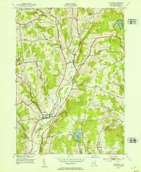
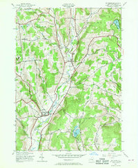
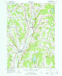
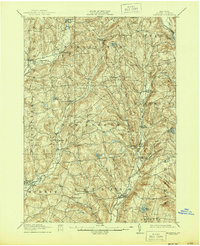
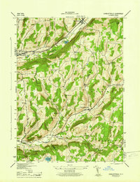
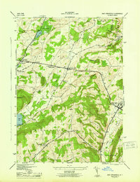
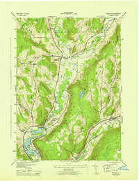
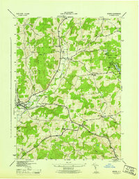
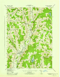
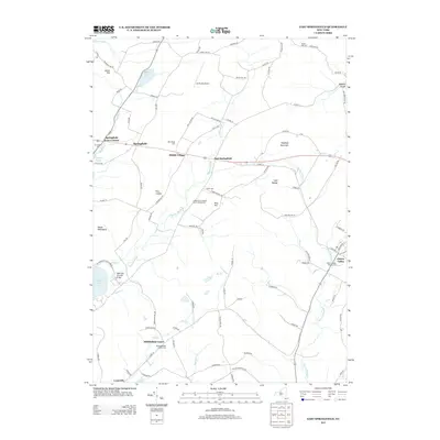
Editions of this 1943 Mt Vision Map
5 editions found
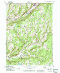
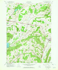
Historical Maps of Oneonta Through Time
77 maps found
1907 Winfield
Otsego County, NY

1910 Hartwick
Otsego County, NY
1912 Hartwick
Otsego County, NY
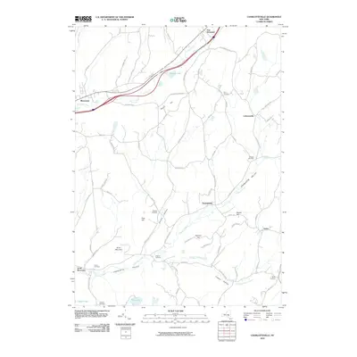
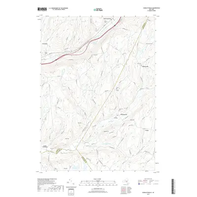
1943 Charlotteville
Otsego County, NY
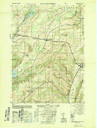
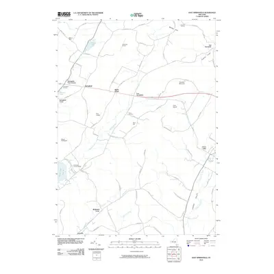
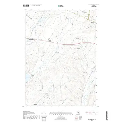
1943 East Springfield
Otsego County, NY
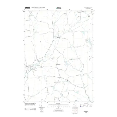
1943 Edmeston
Otsego County, NY
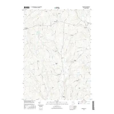
1943 Hartwick
Otsego County, NY
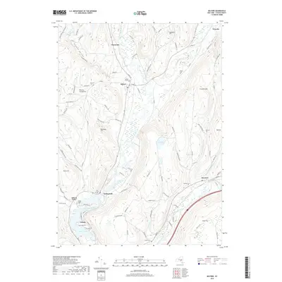
1943 Milford
Otsego County, NY
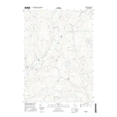
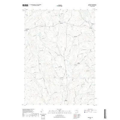
1943 Morris
Otsego County, NY
1943 Mt Vision
Otsego County, NY
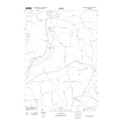
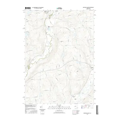
1943 New Berlin South
Otsego County, NY
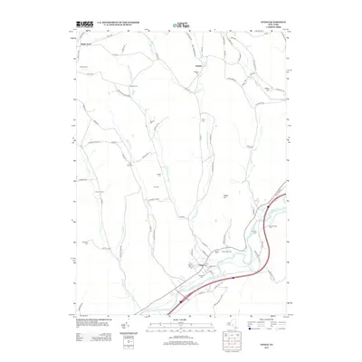
1943 Otego
Otsego County, NY
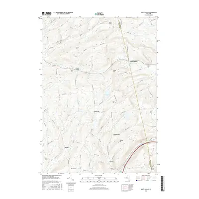
1943 South Valley
Otsego County, NY
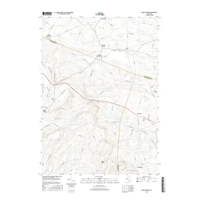
1943 Sprout Brook
Otsego County, NY
1945 Charlotteville
Otsego County, NY
1945 East Springfield
Otsego County, NY
1945 Edmeston
Otsego County, NY
1945 Hartwick
Otsego County, NY
1945 Milford
Otsego County, NY
1945 Morris
Otsego County, NY
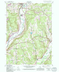
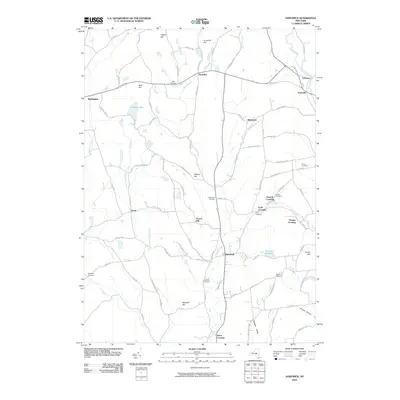
1945 Mt Vision
Otsego County, NY
1945 New Berlin South
Otsego County, NY
1945 Otego
Otsego County, NY
1945 South Valley
Otsego County, NY
1945 Sprout Brook
Otsego County, NY
1947 Sprout Brook
Otsego County, NY
1949 East Springfield
Otsego County, NY
2010 Charlotteville
Otsego County, NY
2010 East Springfield
Otsego County, NY
2010 Edmeston
Otsego County, NY
2010 Hartwick
Otsego County, NY
2010 Milford
Otsego County, NY
2010 Morris
Otsego County, NY
2010 New Berlin South
Otsego County, NY
2010 Otego
Otsego County, NY
2010 South Valley
Otsego County, NY
2010 Sprout Brook
Otsego County, NY
2013 Charlotteville
Otsego County, NY
2013 East Springfield
Otsego County, NY
2013 Edmeston
Otsego County, NY
2013 Hartwick
Otsego County, NY
2013 Milford
Otsego County, NY
2013 Morris
Otsego County, NY
2013 New Berlin South
Otsego County, NY
2013 Otego
Otsego County, NY
2013 South Valley
Otsego County, NY
2013 Sprout Brook
Otsego County, NY
2016 Charlotteville
Otsego County, NY
2016 East Springfield
Otsego County, NY
2016 Edmeston
Otsego County, NY
2016 Hartwick
Otsego County, NY

2016 Milford
Otsego County, NY
2016 Morris
Otsego County, NY
2016 New Berlin South
Otsego County, NY
2016 Otego
Otsego County, NY
2016 South Valley
Otsego County, NY
2016 Sprout Brook
Otsego County, NY
2019 Charlotteville
Otsego County, NY
2019 East Springfield
Otsego County, NY
2019 Edmeston
Otsego County, NY
2019 Hartwick
Otsego County, NY
2019 Milford
Otsego County, NY
2019 Morris
Otsego County, NY
2019 New Berlin South
Otsego County, NY
2019 Otego
Otsego County, NY
2019 South Valley
Otsego County, NY
2019 Sprout Brook
Otsego County, NY

2023 Charlotteville
Otsego County, NY

2023 East Springfield
Otsego County, NY

2023 Edmeston
Otsego County, NY

2023 Hartwick
Otsego County, NY

2023 Milford
Otsego County, NY

2023 Morris
Otsego County, NY
2023 New Berlin South
Otsego County, NY

2023 Otego
Otsego County, NY

2023 South Valley
Otsego County, NY

2023 Sprout Brook
Otsego County, NY