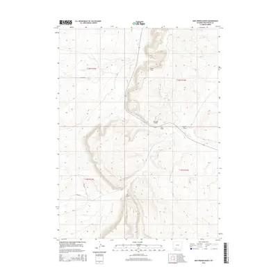
2015 Map of Mud Springs Ranch
USGS Topo · Published 2015About this map
Cooper Ridge dominates the central landscape of this Sweetwater County quadrant, serving as a high-altitude divide in a network of seasonal drainages. The topography is defined by significant erosion patterns, including Erickson Canyon and Dry Canyon, which channel runoff toward Salt Wells Cr. This primary waterway is joined by several tributaries with descriptive names such as Pretty Water Cr and Dans Cr, illustrating the vital role of water management in this arid ranching environment.
Find a feature on this map
20 named features on this map. Tap any name to fly to it.
Don’t see what you’re looking for? This feature index may not catch every label — zoom into the map to look around manually.
Map Details
Editions of this 2015 Mud Springs Ranch Map
This is the sole edition of this map. No revisions or reprints were ever made.
Other maps of this area

1954 · Rock Springs
USGS Topo · 1:250,000

1958 · Rock Springs
USGS Topo · 1:250,000

1962 · Rock Springs
USGS Topo · 1:250,000
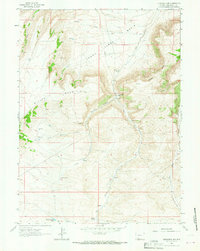
1963 · Titsworth Gap
USGS Topo · 1:24,000
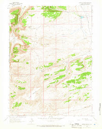
1963 · Potter Mountain
USGS Topo · 1:24,000

1963 · Erickson-Kent Ranch
USGS Topo · 1:24,000

1968 · Cooper Ridge NE
USGS Topo · 1:24,000

1968 · Mud Springs Ranch
USGS Topo · 1:24,000
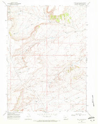
1968 · South Baxter
USGS Topo · 1:24,000

1968 · Camel Rock
USGS Topo · 1:24,000