
1968 Map of Camel Rock
USGS Topo · Published 1972About this map
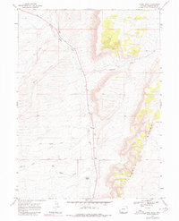
Salt Wells Creek cuts a long, central valley through this high desert region of Sweetwater County, flanked by the dramatic elevation of Cooper Ridge to the east. The terrain is defined by a series of named drainages including Cutthroat Draw, Mail Station Draw, and Antelope Draw, which reveal a landscape shaped by intermittent water flow and erosion. The name of the draw near the southern boundary suggests the historical proximity of overland travel routes through this portion of the Wyoming basin.
Find a feature on this map
11 named features on this map. Tap any name to fly to it.
Don’t see what you’re looking for? This feature index may not catch every label — zoom into the map to look around manually.
Map Details
Editions of this 1968 Camel Rock Map
2 editions found
Other maps of this area

1908 · Rock Springs
USGS Topo · 1:62,500

1910 · Rock Springs
USGS Topo · 1:62,500

1954 · Rock Springs
USGS Topo · 1:250,000

1958 · Rock Springs
USGS Topo · 1:250,000

1962 · Rock Springs
USGS Topo · 1:250,000

1968 · Cooper Ridge NE
USGS Topo · 1:24,000

1968 · Point Of Rocks SW
USGS Topo · 1:24,000

1968 · Mud Springs Ranch
USGS Topo · 1:24,000
1968 · South Baxter
USGS Topo · 1:24,000
1968 · Lion Bluffs
USGS Topo · 1:24,000