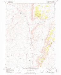
1968 Map of Camel Rock
USGS Topo · Published 1980About this map
Salt Wells Creek winds through the heart of this high-desert landscape in Sweetwater County, creating a central drainage corridor flanked by a network of seasonal draws and creeks. The terrain is defined by the prominent eastern escarpment of Cooper Ridge, where the elevation rises sharply above the basin floor. This 1960s-era topography reveals a history of early passage and resource exploration, evidenced by the presence of Mail Station Draw and scattered Prospects along the ridgeline.
Find a feature on this map
11 named features on this map. Tap any name to fly to it.
Don’t see what you’re looking for? This feature index may not catch every label — zoom into the map to look around manually.
Map Details
Editions of this 1968 Camel Rock Map
2 editions found
Other maps of this area

1908 · Rock Springs
USGS Topo · 1:62,500

1910 · Rock Springs
USGS Topo · 1:62,500

1954 · Rock Springs
USGS Topo · 1:250,000

1958 · Rock Springs
USGS Topo · 1:250,000

1962 · Rock Springs
USGS Topo · 1:250,000

1968 · Cooper Ridge NE
USGS Topo · 1:24,000

1968 · Point Of Rocks SW
USGS Topo · 1:24,000

1968 · Mud Springs Ranch
USGS Topo · 1:24,000
1968 · South Baxter
USGS Topo · 1:24,000

1968 · Camel Rock
USGS Topo · 1:24,000