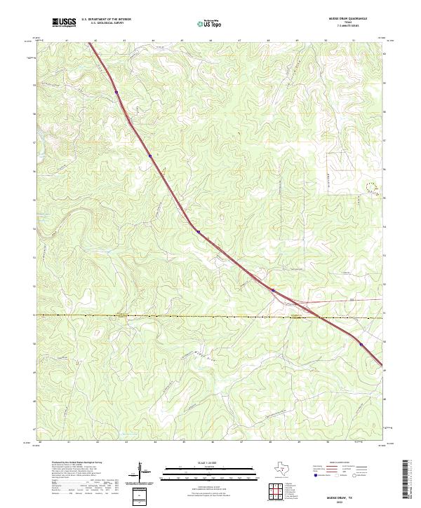
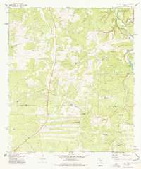
2022 Map of Mudge Draw
USGS Topo · Published 2022About this map
Mudge Draw cuts a wide path through this portion of the Texas Hill Country, marking a landscape defined by seasonal watercourses and extensive ranching operations along the boundary of Kimble Co and Kerr Co. Interstate 10 serves as the primary modern artery, but the map reveals the persistent network of family-named ranch roads that have long shaped the local geography. Distinctive water features like Roach Lake, Moody Lake, and East Spring offer insights into the hydrology of this semi-arid region, while isolated landmarks such as The Dirt Tank reflect the practicalities of livestock management. From the winding course of Joy Cr in the northwest to the straight property lines along Merritt Ranch Rd, the survey illustrates how the terrain was divided among legacy holdings including the Carlton Ranch Rd and Rio Bonita Ranch Rd areas.
Find a feature on this map
34 named features on this map. Tap any name to fly to it.
Don’t see what you’re looking for? This feature index may not catch every label — zoom into the map to look around manually.
Map Details
Editions of this 2022 Mudge Draw Map
This is the sole edition of this map. No revisions or reprints were ever made.
Other maps of this area

1894 · Kerrville
USGS Topo · 1:125,000

1954 · Llano
USGS Topo · 1:250,000

1955 · Llano
USGS Topo · 1:250,000

1956 · Llano
USGS Topo · 1:250,000

1963 · Y O Ranch
USGS Topo · 1:24,000
1964 · Contrary Creek
USGS Topo · 1:24,000

1964 · Live Oak Ranch
USGS Topo · 1:24,000
1974 · Noxville
USGS Topo · 1:24,000
1974 · Tobe Branch
USGS Topo · 1:24,000
1974 · Allen Creek
USGS Topo · 1:24,000