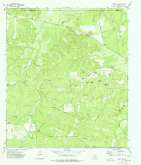
1974 Map of Noxville
USGS Topo · Published 1977About this map
Noxville anchors the southern portion of this Hill Country landscape, situated where the Stapp Road and Knoxville Road intersect near the James River. The terrain is defined by a dense network of springs and water features, including James River Spring, Burnt Branch Spring, and Walker Spring. These water sources, along with landmarks like North Trap Windmill and Dicks Hollow Windmill, indicate a landscape deeply tied to ranching and livestock management in the mid-1970s. The northern reaches of the survey track the James River as it crosses the Mason Co Kimble Co line, while the eastern edge follows the winding course of the Little Devils River past White Bluff. From the isolated Cedar Gap to the numerous gravel pits, the map reveals the quiet infrastructure of rural Kimble County.
Find a feature on this map
29 named features on this map. Tap any name to fly to it.
Don’t see what you’re looking for? This feature index may not catch every label — zoom into the map to look around manually.
Map Details
Editions of this 1974 Noxville Map
This is the sole edition of this map. No revisions or reprints were ever made.
Other maps of this area

1887 · Mason
USGS Topo · 1:125,000

1894 · Mason
USGS Topo · 1:125,000

1894 · Kerrville
USGS Topo · 1:125,000

1954 · Llano
USGS Topo · 1:250,000

1955 · Llano
USGS Topo · 1:250,000

1956 · Llano
USGS Topo · 1:250,000
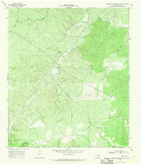
1967 · Monument Mountain SE
USGS Topo · 1:24,000

1968 · Monument Mountain
USGS Topo · 1:24,000

1968 · Yates
USGS Topo · 1:24,000
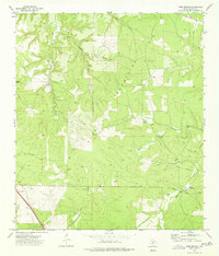
1974 · Tobe Branch
USGS Topo · 1:24,000