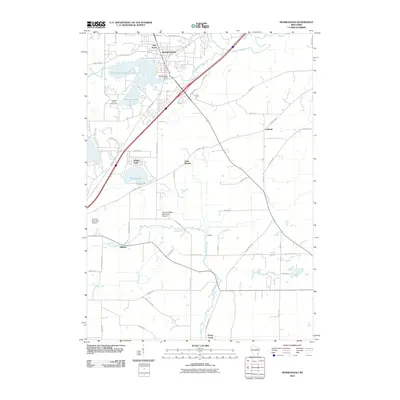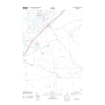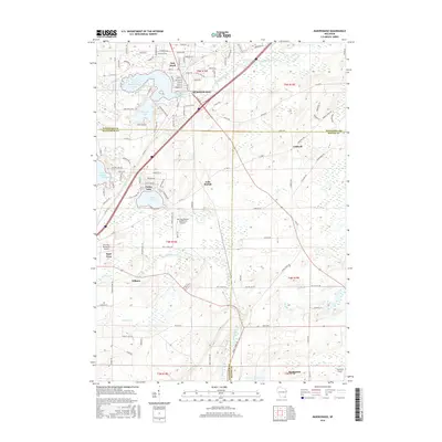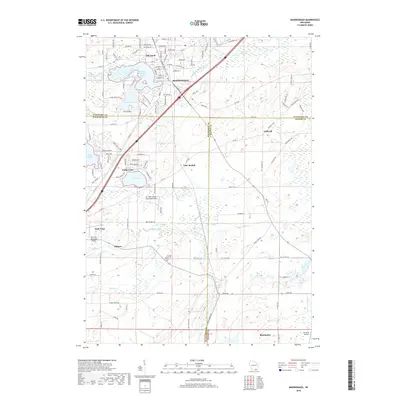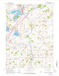
1960 Map of Mukwonago
USGS Topo · Published 1977About this map
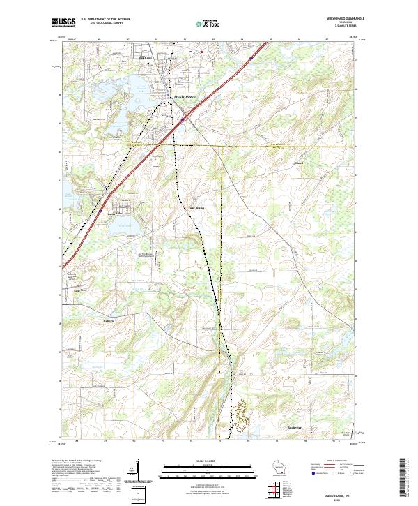
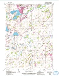
Mukwonago centers this landscape at the junction of the Soo Line railroad and the winding Fox River. The topography is defined by its glacial heritage, featuring a dense cluster of water bodies including Lower Phantom Lake, Phantom Lake, and the expansive Lake Beulah. These lakes fostered early recreational development, evidenced by the Phantom Ranch Boys Camp and YMCA Camp. The surrounding countryside across Waukesha and Walworth counties remained largely agricultural during the mid-century, supported by a network of rural schoolhouses such as Jonesville Sch, Stewart Sch, and Buttles Sch.
Find a feature on this map
35 named features on this map. Tap any name to fly to it.
Don’t see what you’re looking for? This feature index may not catch every label — zoom into the map to look around manually.
Map Details
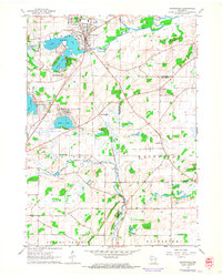
Editions of this 1960 Mukwonago Map
4 editions found
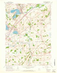
Historical Maps of Mukwonago Through Time
6 maps found