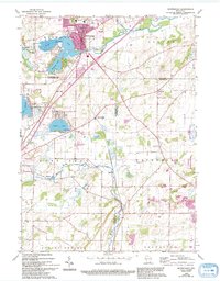
1960 Map of Mukwonago
USGS Topo · Published 1994About this map
Mukwonago serves as the focal point for this region where the Fox River and Mukwonago drainage systems meet. The landscape is defined by its glacial lakes, including Lower Phantom Lake, Phantom Lake, and Potter Lake, which supported early 20th-century recreation as seen at the Phantom Ranch Boys Camp and YMCA Camp. While the primary settlements grew around these waters, the surrounding townships of Vernon, East Troy, and Waterford remained largely agricultural, evidenced by numerous rural schoolhouses like Stone Sch and Buttles Sch.
Find a feature on this map
37 named features on this map. Tap any name to fly to it.
Don’t see what you’re looking for? This feature index may not catch every label — zoom into the map to look around manually.
Map Details
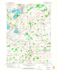
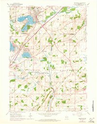
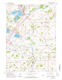
Editions of this 1960 Mukwonago Map
4 editions found
Other maps of this area

1891 · Muskego
USGS Topo · 1:62,500

1892 · Eagle
USGS Topo · 1:62,500

1893 · Silver Lake
USGS Topo · 1:62,500

1893 · Geneva
USGS Topo · 1:62,500

1894 · Eagle
USGS Topo · 1:62,500

1897 · Eagle
USGS Topo · 1:62,500

1901 · Muskego
USGS Topo · 1:62,500

1904 · Lake Geneva
USGS Topo · 1:62,500

1906 · Eagle
USGS Topo · 1:62,500

1906 · Silver Lake
USGS Topo · 1:62,500