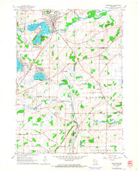
1960 Map of Mukwonago
USGS Topo · Published 1964About this map
The village of Mukwonago serves as the focal point for this 1960 survey, situated at the confluence of the Fox River and Mukwonago river systems. The landscape is defined by its post-glacial geology, featuring a dense concentration of water bodies including Lower Phantom Lake, Phantom Lake, and Potter Lake. This period captures the region as a recreational and educational hub for southeast Wisconsin, shown by the presence of Phantom Ranch Boys Camp and a YMCA Camp.
Find a feature on this map
35 named features on this map. Tap any name to fly to it.
Don’t see what you’re looking for? This feature index may not catch every label — zoom into the map to look around manually.
Map Details
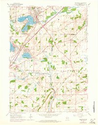
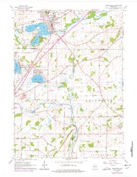
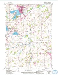
Editions of this 1960 Mukwonago Map
4 editions found
Other maps of this area

1891 · Muskego
USGS Topo · 1:62,500

1892 · Eagle
USGS Topo · 1:62,500

1893 · Silver Lake
USGS Topo · 1:62,500

1893 · Geneva
USGS Topo · 1:62,500

1894 · Eagle
USGS Topo · 1:62,500

1897 · Eagle
USGS Topo · 1:62,500

1901 · Muskego
USGS Topo · 1:62,500

1904 · Lake Geneva
USGS Topo · 1:62,500

1906 · Eagle
USGS Topo · 1:62,500

1906 · Silver Lake
USGS Topo · 1:62,500